Montana is a favorite state for many landscape photographers and nature lovers, and with good reason. The open landscape of Montana offers plenty of amazing photographic opportunities, and on this page you’ll find a description of some of the most noteworthy locations in the state. The interactive map below shows the location of each spot mentioned on this page.
This page will continue to be a work in progress, so please feel free to leave a comment with your own suggestions of great places to photograph.
Glacier National Park
Glacier National Park lies in northern Montana along the Canadian border. Waterton Lakes National Park is adjacent on the Canadian side. The amazing mountain scenery of Glacier National Park makes it a favorite for many landscape and nature photographers. The park is home to wildlife that includes mountain goats, grizzly bears, and moose. There are more than 130 named lakes in the park, which are perfect for including in your mountain photos.
Most visitors stay on or near the main roads of the park, but for those who are interested in day hiking or backpacking there is plenty to see an experience that is not possible from the main roads. Below we will look at just some of the highlights and main points of interest within the park.
Going-to-the-Sun Road
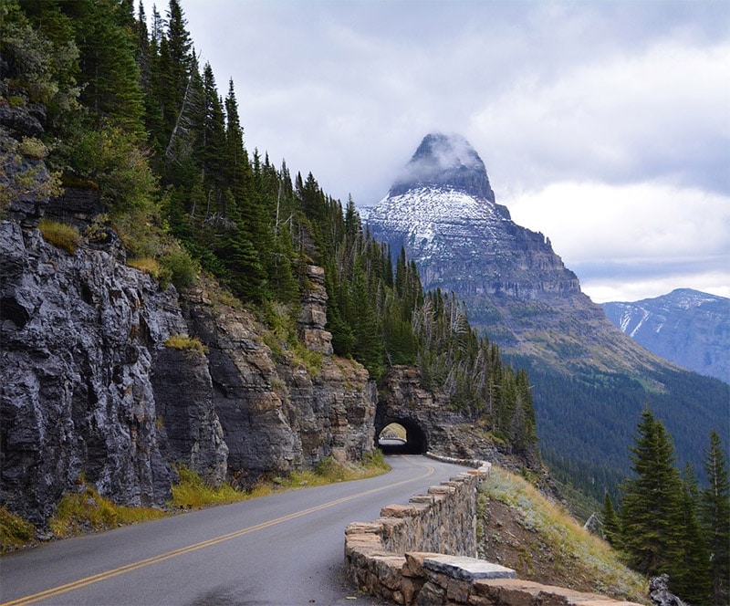
Going-to-the-Sun Road from across the park from the east entrance to the west entrance. It is a narrow, winding road with hairpin turns and amazing mountain views. The highest point on the road is at Logan Pass, more than 6,600 feet above sea level. Due to the high elevation and a large amount of snow, the road is generally only open from mid June through mid October, but the exact dates can vary and sometimes it is not open until July. Although there are plenty of amazing parts of the park that cannot be accessed from Going-to-the-Sun Road, this road is a great way to see many parts of the park fairly quickly.
Lake McDonald
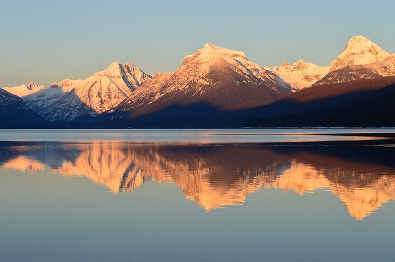
Lake McDonald is the largest lake in Glacier National Park, and it is one of the most popular areas in the western part of the park. The are many hikes available in the area, several campgrounds, and Lake McDonald Lodge.
Saint Mary Lake
Saint Mary Lake is the second largest lake within the park. It lies on the east side of the park and Going-to-the-Sun Road runs along the north side of the lake.
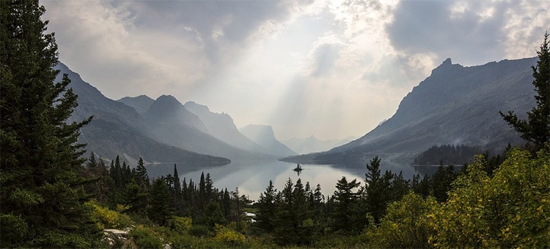
Wild Goose Island Overlook
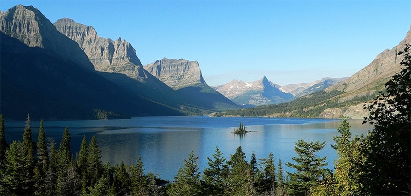
Along Going-to-the-Sun Road, the Wild Goose Island Overlook is a popular scenic spot for photos. Wild Goose Island is in Saint Mary Lake.
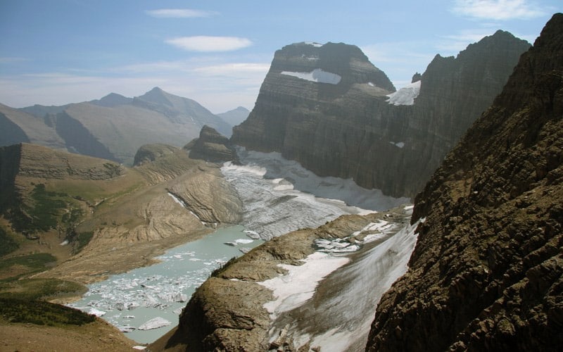
Grinnell Glacier
Grinnell Glacier is located in the Many Glaciers region of Glacier National Park. A hike is available for those who would like to see the glacier.
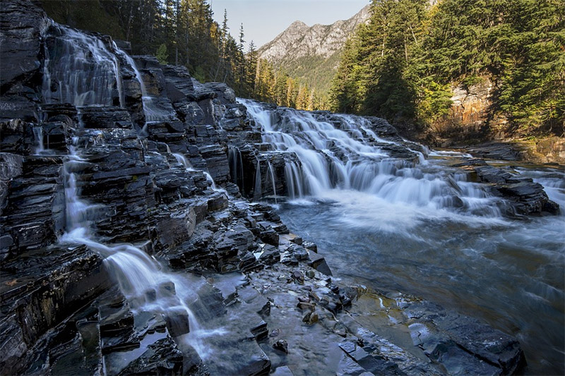
Sacred Dancing Cascade
Sacred Dancing Cascade is a picturesque waterfall on the McDonald Creek. It is located north of Lake McDonald, not far off of Going-to-the-Sun Road.
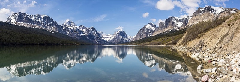
Lake Sherburne
Lake Sherburne is a reservoir created by damming the Swiftcurrent Creek. It is north of Saint Mary Lake and in the Many Glacier Valley. The surrounding mountains make it a beautiful location for photos. Access is available via Many Glacier Road.
Bowman Lake
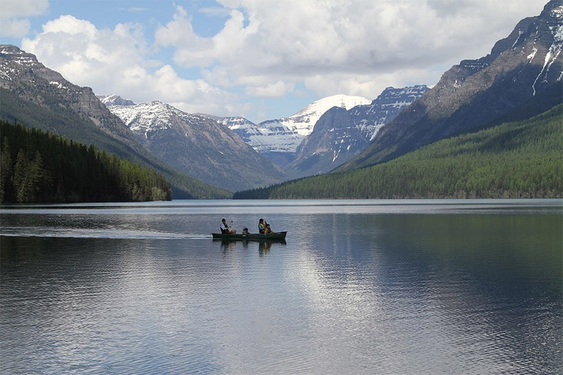
Bowman Lake is the third largest lake in Glacier National Park, but is seen by relatively few of the park’s visitors. It is located in the northern part of the park in a remote area, however, it can be accessed by a six-mile unpaved road from the town of Polebridge. A campground and some trials are located at Bowman Lake.
Avalanche Lake
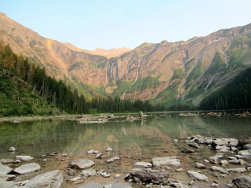
Avalanche Lake is northeast of Lake McDonald and can be reached with a moderate hike. The Trail of the Cedars is a loop hike that begins along Going-to-the-Sun Road. That trail will take you to the Avalanche Lake Trail.
Logan Pass
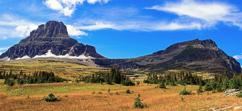
Logan Pass is the highest point in the park reachable by car (along Going-to-the-Sun Road). The area is filled with wildlfowers for much of the summer and is a common location for seeing wildlife. There is a visitor’s center at Logan Pass, but the parking lot often fills up during peak season.
Upper Missouri River Breaks National Monument
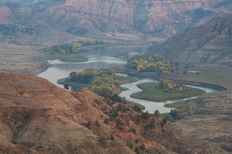
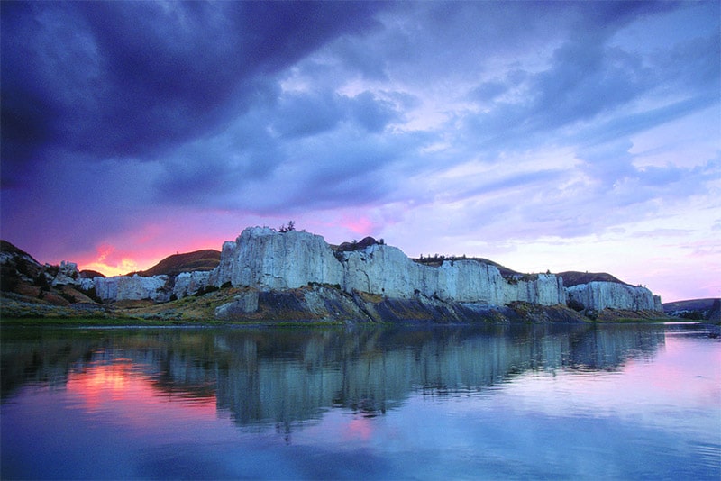
In northern Montana, about 250 miles east of Glacier National Park, is the Upper Missouri River Breaks National Monument. This badland area with its rock outcroppings and steep bluffs is an amazing landscape. It spans almost 150 miles of the Upper Missouri River. There are not many roads within this area, and many of the roads that do exist are unpaved. The river provides the best access to the area.
Bighorn Canyon National Recreation Area
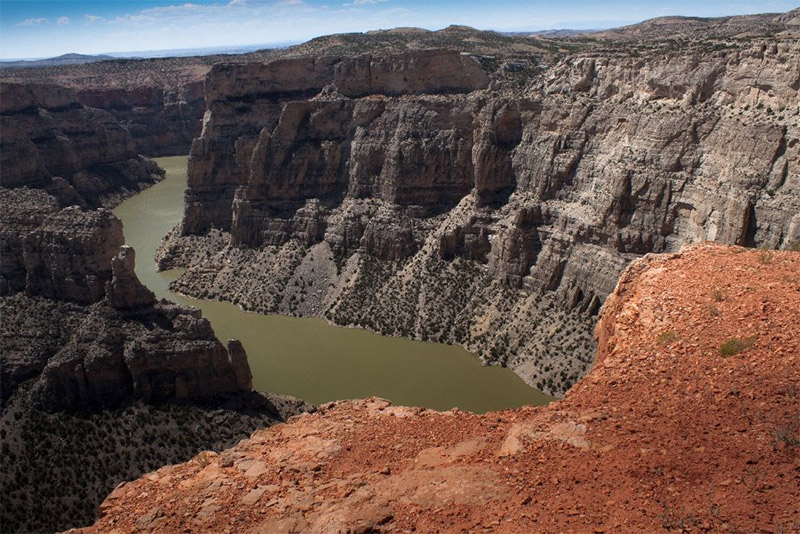
Bighorn Canyon National Recreation Area lies in both Montana and Wyoming. A visitor’s center and facilities are located in Fort Smith, Montana. Hiking trails are available for exploring the area, or you can get a view of the beautiful canyon walls by boat on Bighorn Lake.
Makoshika State Park
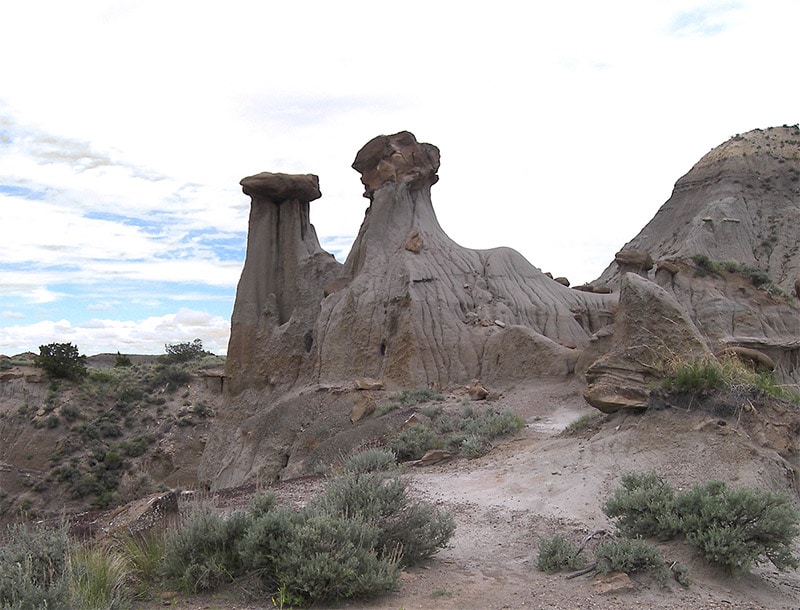
Makoshika State Park is in eastern Montana. This badlands area is the largest state park in Montana, and a great place to photograph dramatic wilderness. Many hiking trails are available, and parts of the park are accessible by road as well. This park is also home to many dinosaur fossils.
Terry Badlands
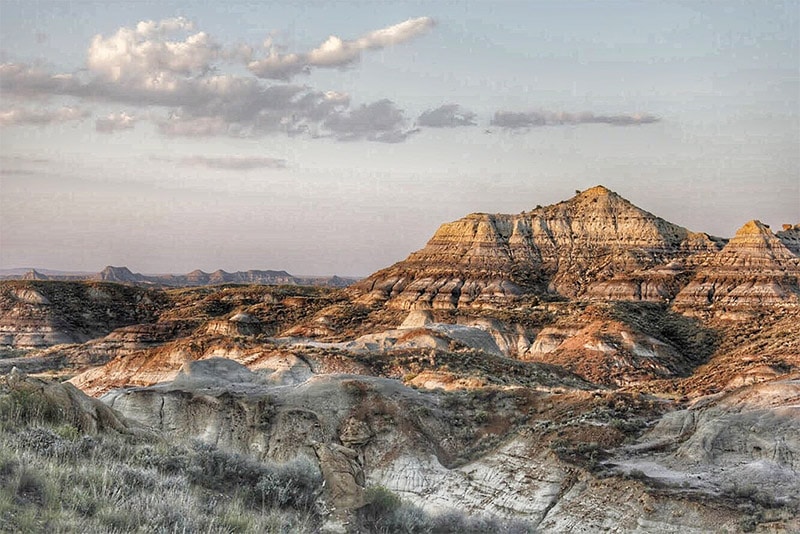
In eastern Montana the Terry Badlands Wilderness Study Area is a great place for photographing a unique, rugged landscape. The area can be accessed by the 5.5-mile Calypso Trail, but a high-clearance vehicle is needed.
Bob Marshall Wilderness
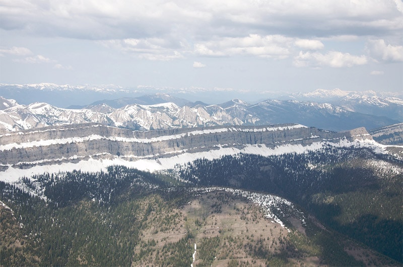
The Bob Marshall Wilderness (or “The Bob” for short) is in northern Montana, south of Glacier National Park. This beautiful mountain wilderness is quite remote, but trails are available from surrounding towns on all sides of the wilderness. To the north, US Highway 2 separates The Bob from Glacier National Park. The Chinese Wall is a large escarpment that extends for more than 20 miles and averages 1,000 feet in height.
Paradise Valley
Paradise Valley lies north of Yellowstone National Park and southeast of Bozeman, Montana. US Highway 89 passes through this scenic area, making it a drive that photographers will love. US Highway 89 can be combined with Highway 540 to make the Paradise Valley Scenic Loop.
Lewis and Clark Caverns State Park
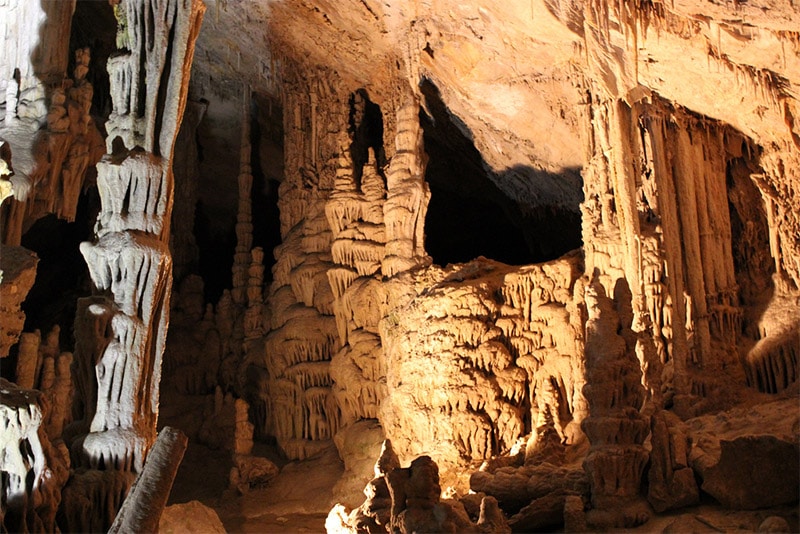
In southwestern Montana you can visit the limestone cavern that is a part of Lewis and Clark Caverns State Park. The park is open year-round, but the caverns are only open May through September.
Medicine Rocks State Park
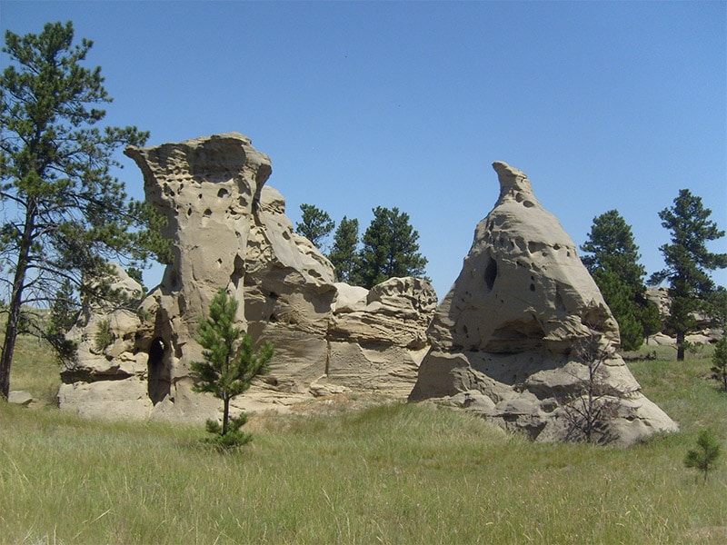
In southeastern Montana, Medicine Rocks State Park is home to sandstone rock formations that rise as high as 80 feet. Located just off of Highway 7, the park includes a 6 mile trail for exploring and experiencing this unique landscape.
Holland Lake and Holland Falls
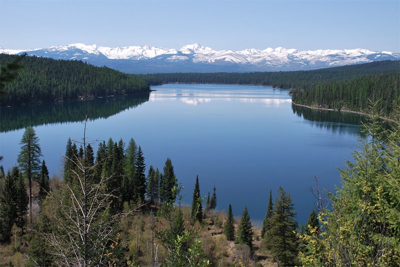
The beautiful Holland Lake is located in the Swan Valley south of Glacier National Park and can be accessed off of Highway 83. The area includes a campground and a day use area, with several trails available. A 3-mile round trip hike will lead you to Holland Falls.
Bannack State Park
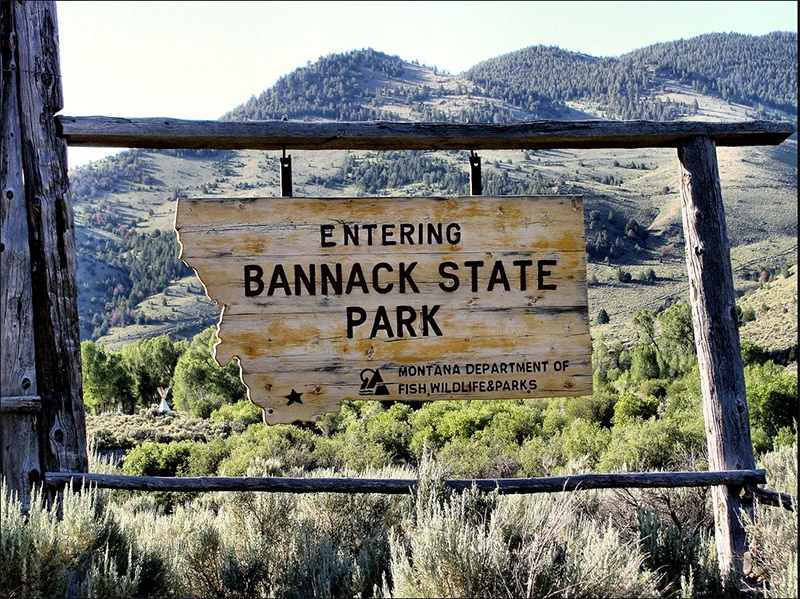
Bannack is a ghost town in southwestern Montana, now a part of Bannack State Park. There are over 50 buildings on Main Street, offering some interesting and unique photo opportunities.
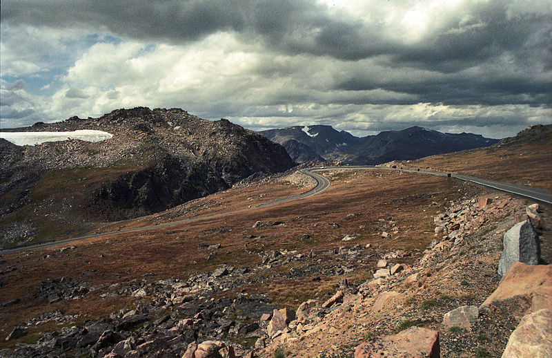
Beartooth Highway
Beartooth Highway is a scenic stretch of US Route 212 in southern Montana, leading to Yellowstone National Park. Due to high elevation and snowfall it is usually only open from May through October. This winding mountain road is perfect for catching amazing views and photographing the surrounding wilderness.
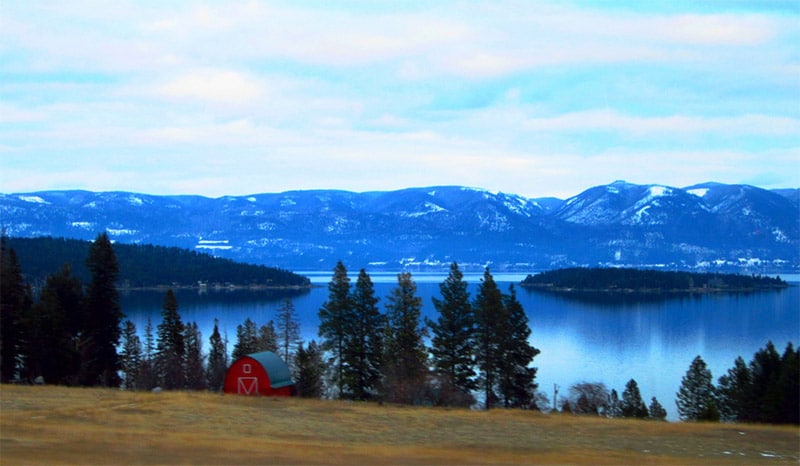
Flathead Lake
Flathead Lake is a picturesque lake located south of Glacier National Park. The lake has 185 miles of shoreline. The southern portion is on reservation land and visitors must purchase a permit. However, Montana Fish Wildlife and Parks manages several sites outside of the reservation that provide access and views of the lake.
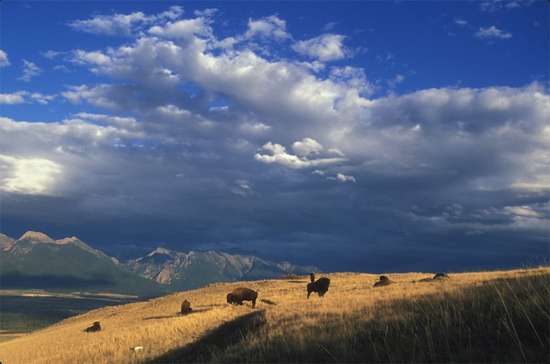
National Bison Range
National Bison Range is about 40 miles south of Flathead Lake. This wildlife refuge includes a relatively small herd of bison. Aside from the wildlife, the area also features a beautiful landscape that is ideal for photography. There are multiple scenic drives available, and a limited number of hiking trails.
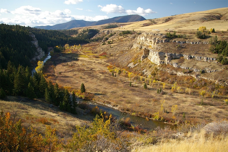
Sluice Boxes State Park
Sluice Boxes State Park provides amazing views of the Belt Creek Canyon and the Little Belt Mountains. The park can be accessed from the 70-mile Kings Hill Scenic Byway.
Want to learn more about neighboring states and provinces? Please see:
- The Best Places to Photograph in Idaho
- The Best Places to Photograph in Wyoming
- The Best Places to Photograph in South Dakota
- The Best Places to Photograph in North Dakota
- The Best Places to Photograph in Saskatchewan, Canada
- The Best Places to Photograph in Alberta, Canada
License links: CC BY-SA 3.0, CC BY-SA 2.0, CC BY-ND 2.0, CC BY 2.0, CC0

