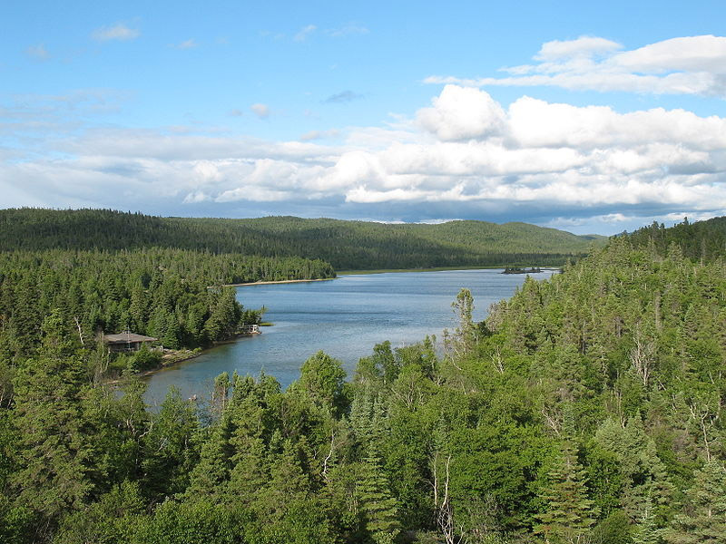
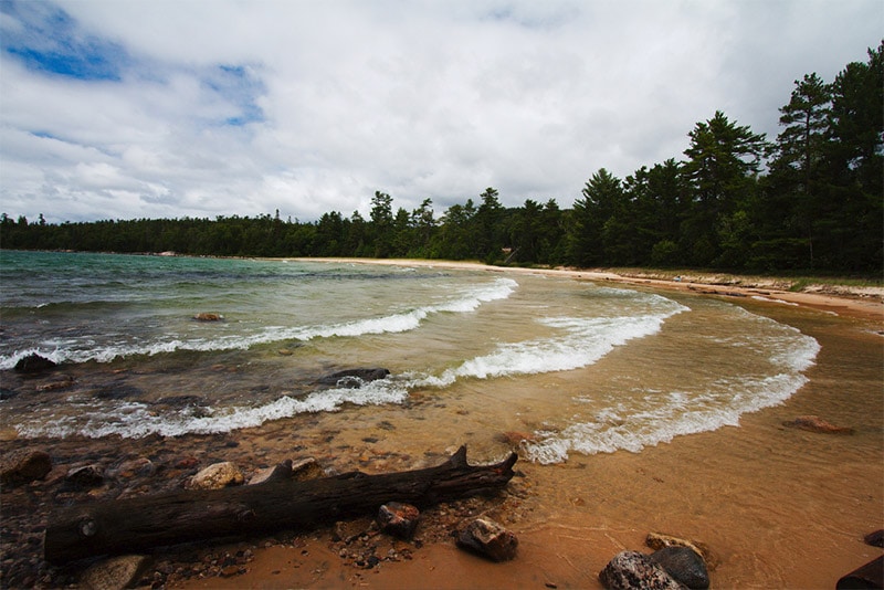
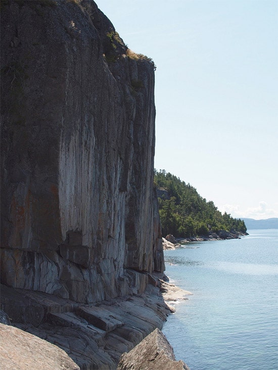
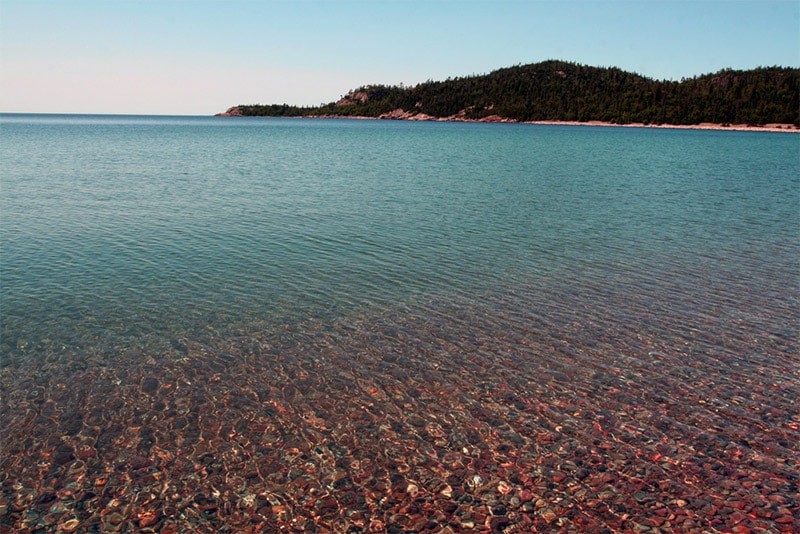
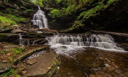
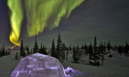
Ontario is Canada’s second-largest province, and the most heavily populated, so there is no shortage of things to see and photograph. Most of the population and development is to the south, with northern Ontario being mostly remote. On this page we’ll look at some of the best places to photograph in Ontario. You’ll find waterfalls, plenty of lakes, rock formations, picturesque bays, and rugged wilderness.
The interactive map below shows the locations featured on this page. Feel free to leave a comment at the bottom of the page with your own suggestions of places that should be included.
Niagara Falls
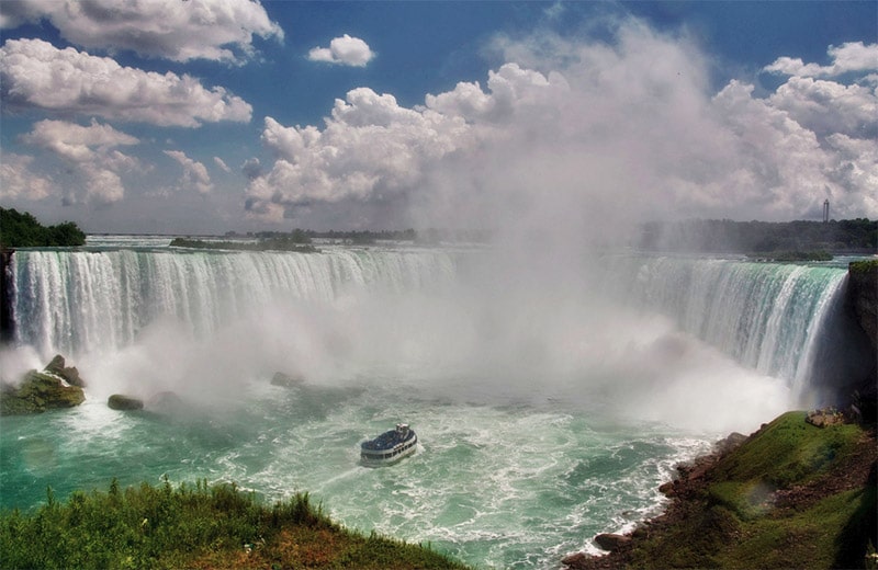
Niagara Falls is one of the most famous waterfalls in the world, and visitors come from all over to see the mighty falls. The falls lie on the border between the United States and Canada. Although the falls can be seen from Niagara Falls State Park in New York, the best views are from the Canadian side. Photographing the falls can be a bit challenging, mostly because the observation areas get quite crowded. You can also take a boat ride near the base of the falls that gives you a different perspective, but be sure to protect your camera from the spray.
While you are in the area there are also some other some other things to see and photograph nearby, like Niagara-on-the-Lake and vineyards in the area.
If you plan to hear to Niagara Falls, be sure to read our detailed Guide to Photographing Niagara Falls.
Bruce Peninsula National Park
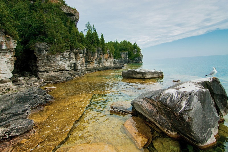
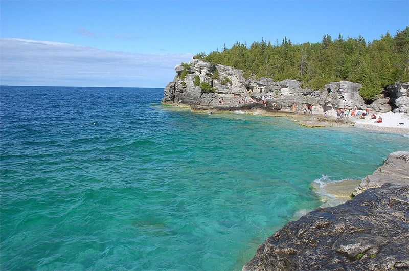
Bruce Peninsula National Park is a beautiful park located on the Bruce Peninsula, which lies between Lake Huron and the Georgian Bay. The park lies along the Niagara Escarpment and offers amazing views, rock formations, cliffs, and picturesque water. Several hiking trails make it possible to find amazing views, and part of the 782 km Bruce Trail runs through the park. The Grotto is an especially popular area of the park due to it’s crystal clear water and stunning surroundings.
Flowerpot Island
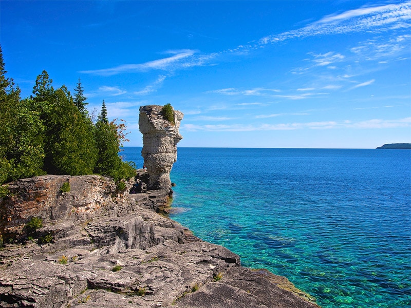
Flowerpot Island is in the Georgian Bay, north of Bruce Peninsula National Park. It is part of Fathom Five National Marine Park. The island is named for two rock pillars on the east side of the island. There are camping facilities and trails on the island, and you can reach the island by boat.
Killarney Provincial Park
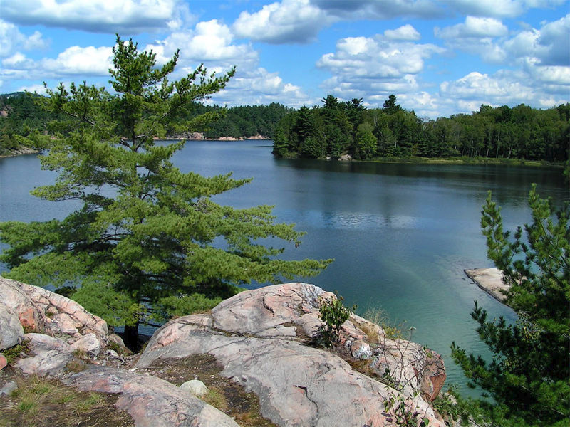
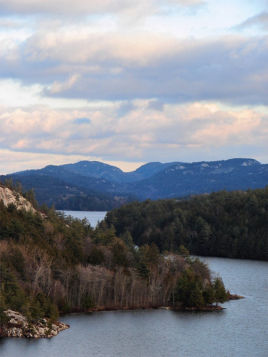
At the north end of the Georgian Bay, Killarney Provinical Park is a wilderness park with an amazing landscape. The landscape features white quartzite ridges, beautiful blue lakes, along with picturesque cliffs and forests. A campground is available near the Lake George entrance to the park, as well as other spots to camp if you are canoeing in to the park. The 80 km La Cloche-Silhouette Trail (a loop trail) is a highlight.
Manitoulin Island
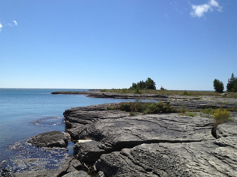
Manitoulin Island is in Lake Huron, not far from Michigan’s Upper Peninsula. You can reach the island from mainland Ontario via a bridge. Manitoulin Island has several lakes and features beautiful shores of Lake Huron and the Georgian Bay.
Cup and Saucer Trail
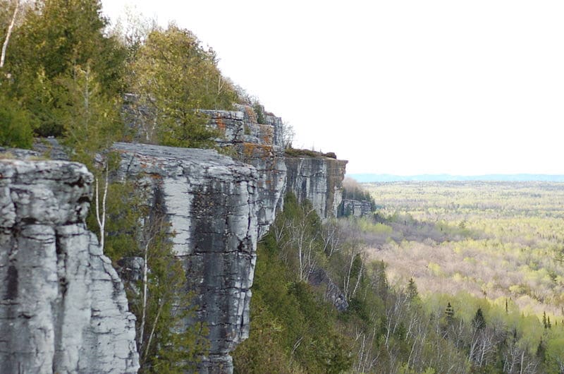
The Cup and Saucer Trail on Manitoulin Island is one of the most popular trails in Ontario. It provides excellent views from cliffs that reach up to 70 meters in height. It is about a 9 km loop trail.
La Cloche Mountains
The La Cloche Mountains are along the north shore of Lake Huron, near Manitoulin Island. Highway 6 provides the best access through the area. The mountains stretch from La Cloche Provincial Park to Killarney Provincial Park. The Heaven’s Gate Trail is a highlight of the area, although it is remote and difficult.
Georgian Bay Islands National Park
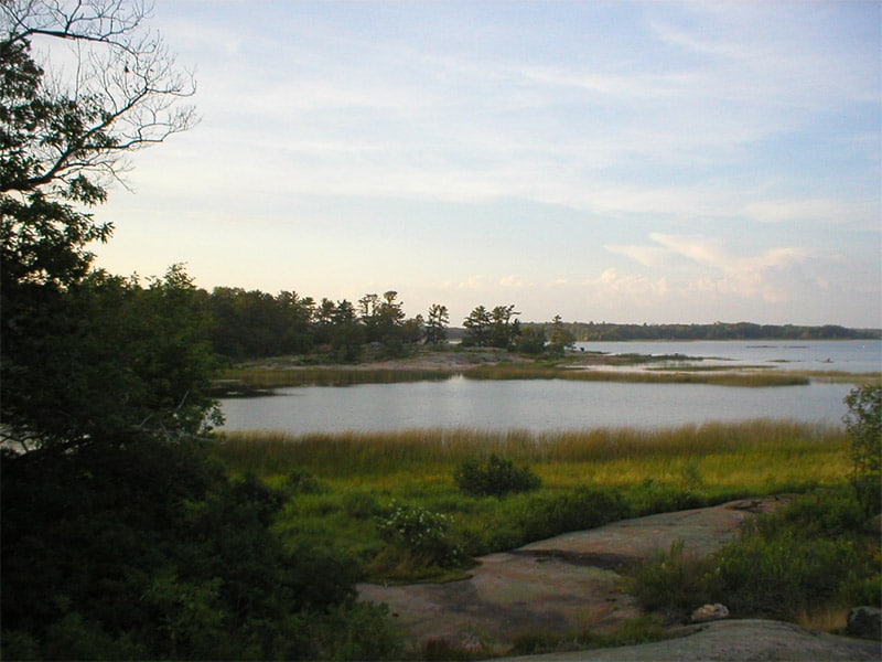
Georgian Bay Islands National Park includes more than 60 islands in the Georgian Bay. This park can only be accessed by boat, but ferries are available to Beausoleil Island, where there is a campground.
Algonquin Provincial Park
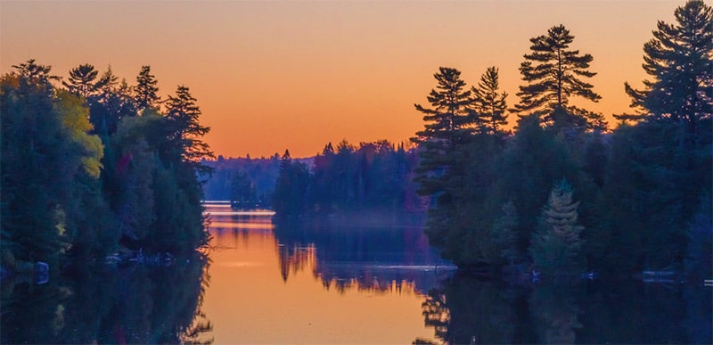
Algonquin Provincial Park is a large park northeast of Tornoto and northwest of Ottawa. This is the oldest provincial park in Canada and is larger than Prince Edward Island. It is a popular park, partly due to it’s proximity to both Toronto and Ottawa. There are more than 2,000 lakes as well as several streams and rivers within the park. Highway 60 provides access to some of the southern sections of the park. There are many campgrounds and trails throughout the park as well.
Bon Echo Provincial Park
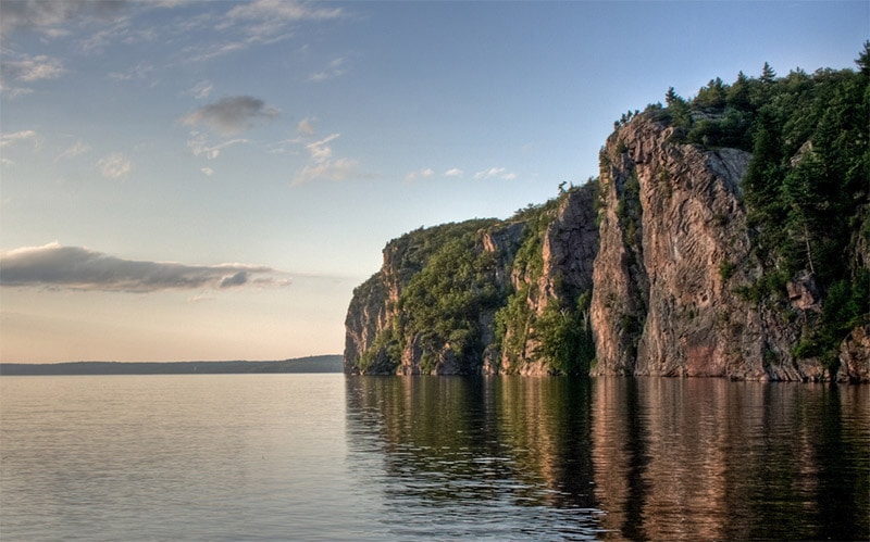
Bon Echo Provincial Park is located between Toronto and Ottawa. There are several lakes in the park, including Mazinaw Lake. On the shore of Mazinaw Lake is Mazinaw Rock. This picturesque 100 meter formation is not only beautiful, but it is also historically significant. It is covered with Aboriginal pictographs (paintings on the rock). The Cliff Top Trail (only accessible by boat) will take you to the top of Mazinaw Rock where 3 observation decks provide great views of the lake.
Thousand Islands
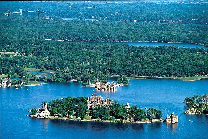
The Thousand Islands are a group of well over 1,000 islands in the St. Lawrence River along the border between Canada and the United States. The string of islands runs for about 80 km downstream (east and northeast) from Kingston, Ontario. Some of the islands are in the U.S. and some are in Canada. The Thousand Islands Parkway and the Waterfront Trail (for bikes) run along the river in Ontario. The Thousand Islands Bridge crosses the river at Wellesley Island.
Thousand Islands National Park manages 21 of the islands and provides excellent opportunities for visitors and photographers. Probably the best way to explore and photograph the area is by boat, and much of the national park is accessible only by boat.
Boldt Castle is a popular attraction in the area, although that island is technically on the United States (New York) side of the river.
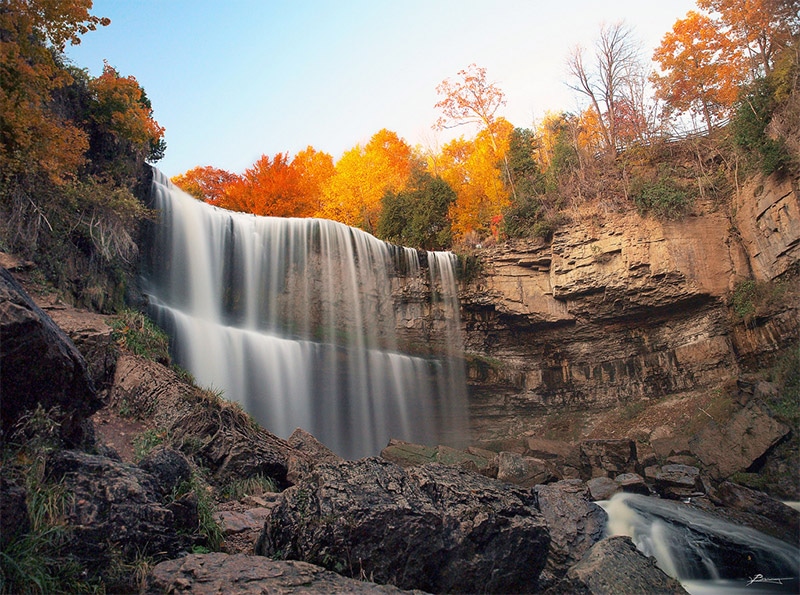
Webster’s Falls
Webster’s Falls is a 20 meter waterfall near Hamilton, southwest of Toronto. This is a beautiful waterfall with a short hike to reach it.
Rouge National Urban Park
Rouge National Urban Park is in the Toronto area and offers excellent exposure to nature for those living in and visiting the city. This is a park that is currently expanding and improving, with new trails being added. Currently it is home to the only campground in Toronto, plenty of farmland, marshes, beaches, and more.
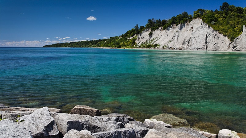
Scarborough Bluffs
The Scarborough Bluffs rise as high as 90 meters above Lake Ontario in eastern Toronto. The bluffs run for 15 km with several parks in this area. At these parks you will find trails and great views for photographing.
Point Pelee National Park
Point Pelee National Park is on a peninsula in Lake Erie, southeast of Detroit. The park includes marsh and woodlands, and represents the southernmost point of mainland Canada. Although it is the smallest Canadian National Park, there is still a lot to like. The park is home (seasonally) to migratory birds and monarch butterflies. Hiking and canoeing are among the best ways to see the park.
Thunder Bay
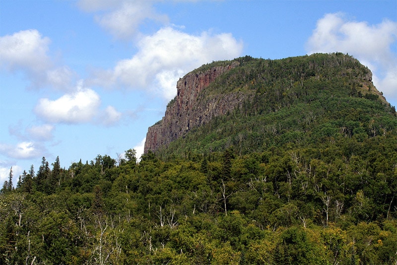
Thunder Bay is along the north shore of Lake Superior, not far from Isle Royale National Park, which is part of the United States. Hiwghway 17 provides good access to the area. Sleeping Giant Provincial Park is on the Sibley Peninsula, east of Thunder Bay. The steep cliffs here reach up to 250 meters high and resemble a sleeping giant if you are looking at it from the west. You can get some amazing views in this park, including from the top of the sleeping giant, or photograph the cliffs and formations.
Ouimet Canyon
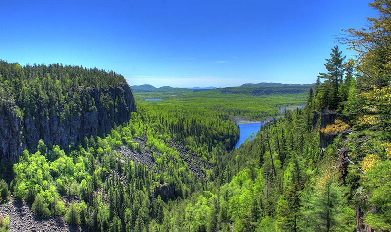
Ouimet Canyon Provincial Park is north of the Sibley Peninsula and home to a stunning gorge 2 km long. The gorge walls reach as high as 100 meters. Boardwalks and trails lead to viewing platforms with outstanding views of the canyon.
Kakabeka Falls
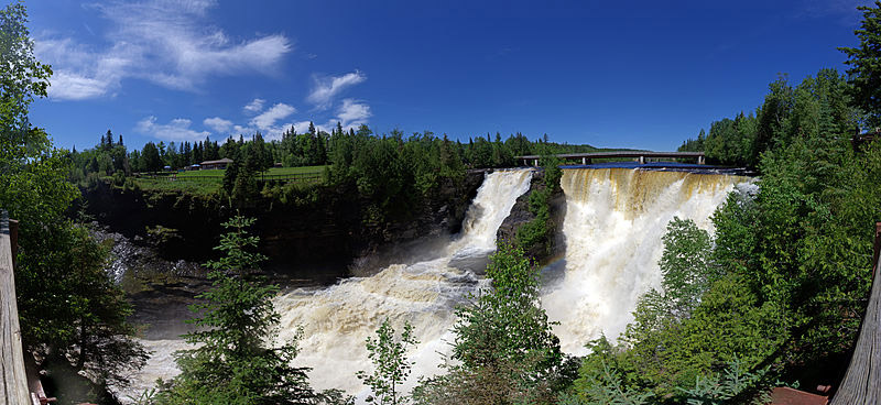
Located west of Thunder Bay is the 40 meter Kakabeka Falls. The impressive falls are a part of Kakabeka Falls Provincial Park. A boardwalk at the top of the falls provides a view of the falls and gorge. The Mountain Portage Trail and Little Falls Trail also provide excellent views and photographic opportunities.
Pukaskwa National Park
Pukaskwa National Park is on the shore of Lake Superior. It is know for its beautiful views of the lake and for its forests. Road access within the park is extremely limited. There is a road (Highway 627) that enters at the north of the park and leads just a very short distance into the park to a campground at Hattie Cove. The Coastal Hiking Trail follows the north shore of Lake Superior through the park. The Coastal Paddling Route allows you to experience the park by kayak or canoe. This remote, wilderness park will require some effort to really experience and photograph it, but for those who enjoy getting some solitude, this is a great location.
Lake Superior Provincial Park
Lake Superior Provincial Park covers part of the northeast shore of the lake, southeast of Pukaskwa National Park. The Trans Canada Highway runs through the park and provides great access. Hiking trails can be accessed from the highway or from campgrounds within the park. The Coastal Trail is a popular option. Agawa Rock and Agawa Bay are popular attractions near the southern end of the park. Old Woman Bay at the north end of the park features 200 meter cliffs.
Agawa Canyon
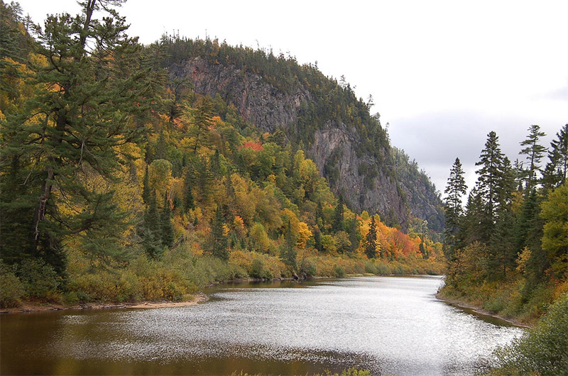
The Agawa Canyon is a remote destination east of Lake Superior Provincial Park. The easiest way to reach the canyon is by the Agawa Canyon Tour train that leaves from Sault Ste. Marie. There are a few short trails in the canyon, and steps that lead to an observation platform with an outstanding view.
Bonnechere Caves
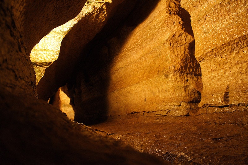
Bonnechere Caves is located in Eganville, west of Ottawa. The caves are located under a hill of limestone. The caves are privately owned and operated.
Don’t Stop There!
Although this page covers many of the highlights of Ontario, there is still much more to see and photograph. We plan to update this page in the future, so feel free to leave a comment and suggest other locations that you think should be included. We are planning to add descriptions and photos of the following locations:
- Agate Island
- Terre Bleu Lavender Farm
- Long Point Provincial Park
- Quetico Provincial Park
- Cheltenham Badlands (closed temporarily)
Photo license links: CC BY-SA 2.0, CC BY-ND 2.0, CC BY 2.0, CC BY 3.0, CC BY-SA 3.0, CC0, Public Domain

