British Columbia, on the west coast of Canada, has plenty to offer to visitors and photographers. Within British Columbia you can find amazing beaches and coast scenery, rainforest, islands, mountains, and abundant wildlife. It is truly a photographic paradise.
On this page we’ll highlight some of the best places to photograph in British Columbia. We plan to update the page in the future, so if you have suggestions of other locations that you think should be mentioned, please feel free to leave a comment at the end of the page.
The interactive map below shows all of the locations featured on this page.
Yoho National Park
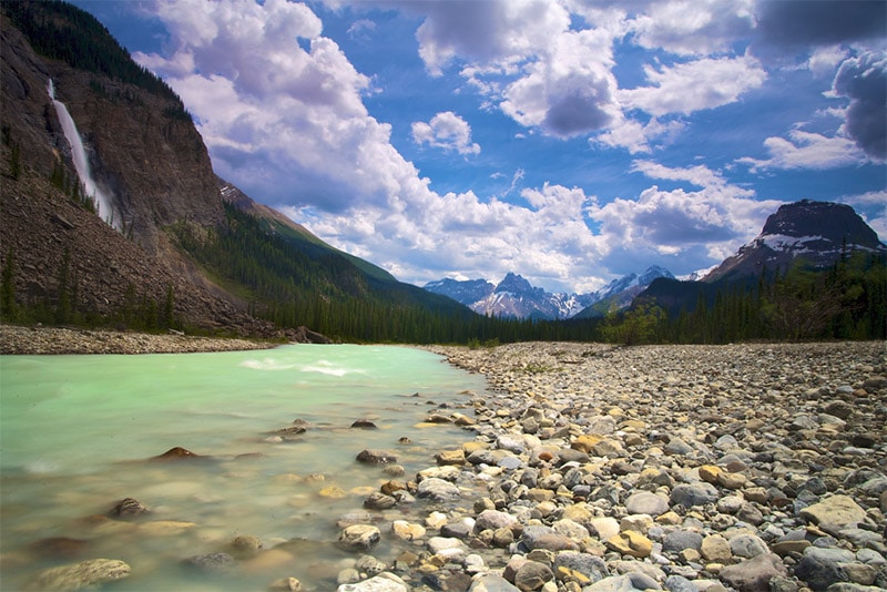
Yoho National Park is in eastern British Columbia, adjacent to Kootenay National Park and Banff National Park. It lies on the western slopes of the Rocky Mountains and provides visitors with amazing mountain scenery. The Trans Canada Highway runs through the park. It serves as the main path through the park, with other roads branching off of it. More then 400 km of hiking trails are available in the park, ranging from easy to difficult.
Some points of interest within Yoho National Park include:
- Wapta Falls
- Takakkaw Falls
- Emerald Lake
- Natural Bridge
Kootenay National Park
Kootenay National Park is just south of Yoho National Park and west of Banff National Park. Highway 93 (the Banff-Windermere Highway) runs mostly north and south through Kootenay National Park and connects with the Trans Canada Highway to the north. The park boundaries extend only a few km from either side of Highway 93 in most places, so the road makes the majority of the park fairly easy to access.
Although you can see a good bit of the park from the road, there are still plenty of things you can see and experience by hiking. Floe Lake and Kaufmann Lake are great places for photographing, and accessible by trail.
Other points of interest include:
- Radium Hot Springs
- Paint Pots
- Rockwall Trail
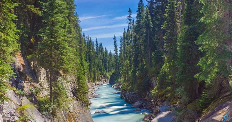
- Marble Canyon
- Numa Falls
- Olive Lake
Bugaboo Provincial Park
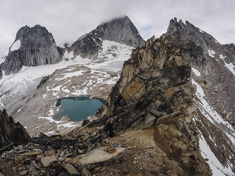
Bugaboo Provincial Park is in the Purcel Mountains, west of Kootenay National Park. The granite peaks are stunning, but this remote wilderness park is not easily reached or explored. The only roads to the park are unpaved logging roads, and there are no roads or facilities within the park, aside from the Conrad Kain Hut for climbers. There are few trails and the climbs are recommended only for experienced climbers.
Glacier National Park
Glacier National Park (not to be confused with Glacier National Park in the United States) is west of Yoho National Park, with the Trans Canada Highway providing easy access between the two parks. This park features glaciers, high mountain peaks, ancient forest, wildlife, and a large cave system. Hiking trails and several campgrounds make it possible to explore this rugged landscape. Most visitors to the park as simply passing through on the Trans Canada Highway. If you take the time to experience the park you will love it. Try The Amazing Trees Tour to get a great, easy view of the forest.
Mount Revelstoke National Park
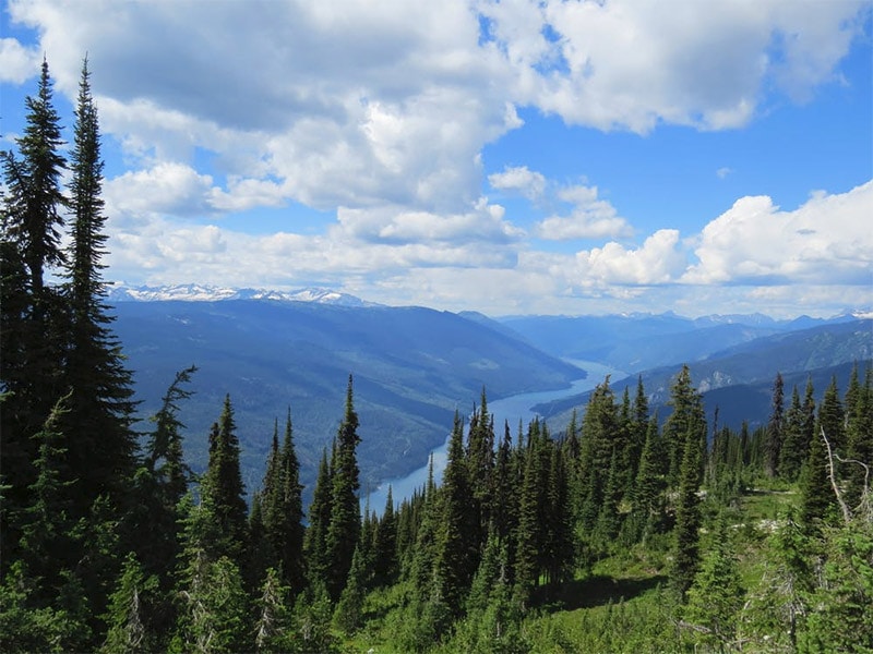
From Glacier National Park you can take the Trans Canada Highway just a short distance west to reach Mount Revelstoke National Park. Although the Trans Canada Highway does provide access to the park, it really only runs along the far edge of the park. In the southwest edge of the park you can use the Meadows in the Sky Parkway to get deeper into the park. This narrow, winding mountain road leads through forests and wildflower meadows.
Mount Revelstoke National Park is also known for its rainforest. The Giant Cedars Boardwalk and Skunk Cabbage Boardwalk provide easy access and good views for photographing.
Mount Robson
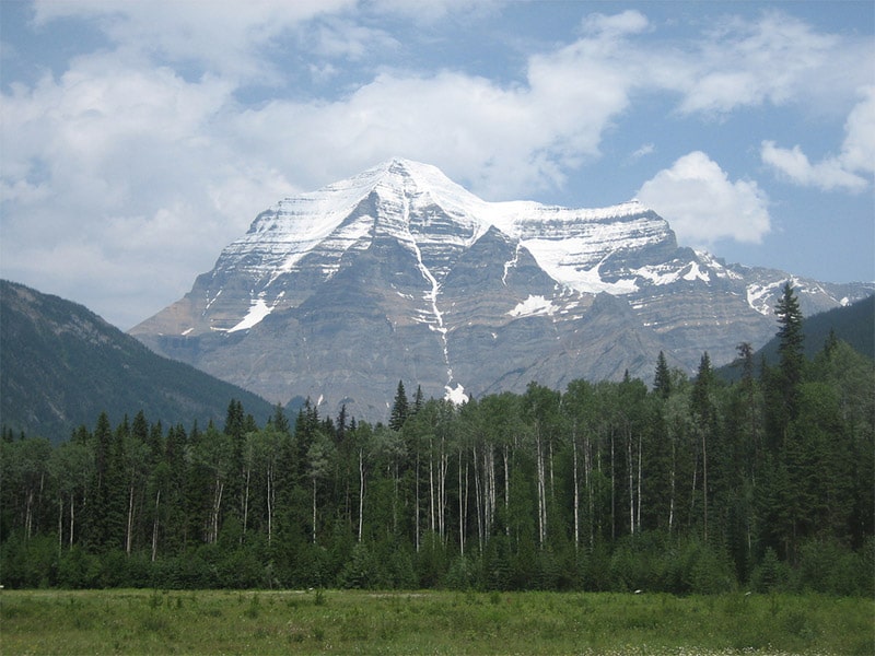
Mount Robson is the tallest peak in the Canadian Rockies and is part of Mount Robson Provincial Park. It is in eastern British Columbia, next to Jasper National Park (Alberta). The Yellowhead Highway provides access to the park, but there are very few facilities within the park. The visitor information center along the highway offers a view of Mount Robson, although you can also get a view from other places along the highway. The highway is to the south of Mount Robson. From the north you can also view it from Berg Lake. This beautiful view requires a long hike of more than 20 km. You can find more information about the hike here.
Pacific Rim National Park Reserve
Pacific Rim National Park Reserve is located in southwestern Canada on the west coast of Vancouver Island. It consists of three units: Long Beach, the Broken Group Islands, and the West Coast Trail.
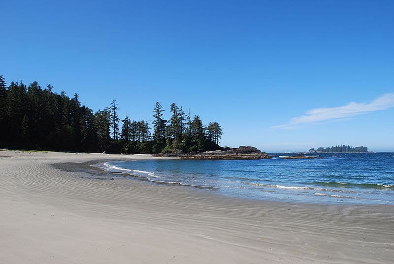
Long Beach is the most popular area in the park, mostly for the beach itself. There are also some trails and nearby rainforest.
The Broken Group Islands, south of Long Beach, are only accessible by boat. There are over 100 small islands in the Barkley Sound and some of them have campgrounds (although there is no fresh water on the islands). The best way to reach the islands is by kayak.
South of the Barkley Sound, the West Coast Trail leads 75 km from Bamfield to Port Renfrew. This is a challenging trail that usually takes about 5-7 days to complete. It leads hikers through rainforest and by beautful rocky shoreline.
Tofino
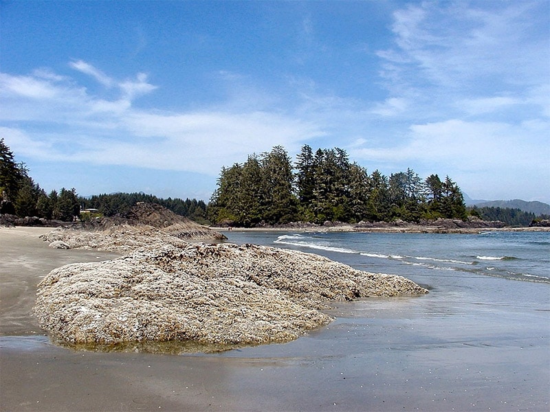
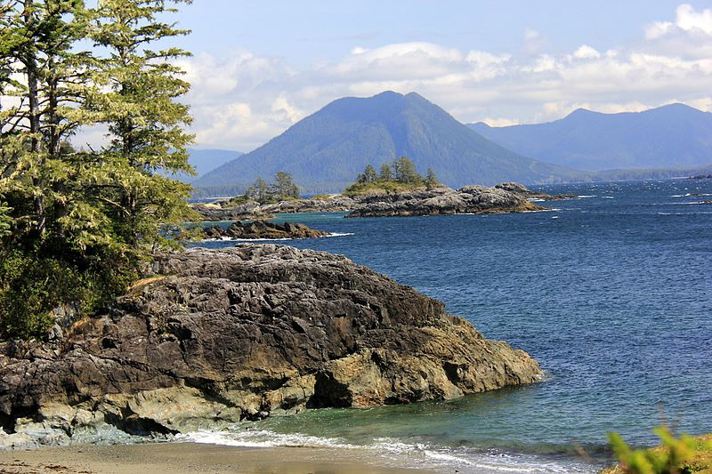
Tofino is a district on the west coast of Vancouver Island, at the southern edge of the Clayoquot Sound and just north of Long Beach. Tofino is a popular touristy area and has plenty of natural, coastal beauty.
Clayoquot Sound Biosphere Reserve
Clayoquot Sound is on the west coast of Vancouver Island and includes many inlets and islands. Tofino is within this area, but it extends well beyond Tofino. Part of Pacific Rim National Park Reserve is also within this region. This area has amazing coastal scenery, rivers, lakes, beach, and rainforest. There is also plenty of wildlife, including whales, seals, sea lions, orcas, black bears, wolves, cougars, and more.
Gulf Islands National Park Reserve
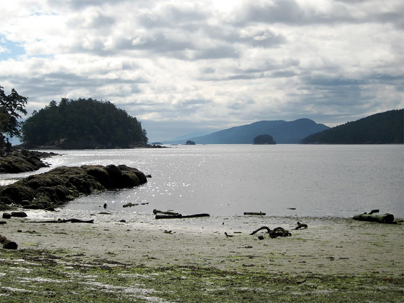
Gulf Islands National Park Reserve includes 15 islands in southwestern Canada, near the U.S. border. Three of the islands (Mayne, Pender, and Saturna) are accessible by ferry. Other islands can be reach by kayak or private boats. There are campgrounds available on eight of the islands, and there are 13 hiking trails. Some highlights for photographers include the Mount Norman viewpoint on Pender Island, views from Mt. Warburton Pike on Saturna Island, beautiful beaches, and amazing wildlife. Wildlife includes seals, sealions, orcas, whales, and seabirds.
Stanley Park, Vancouver
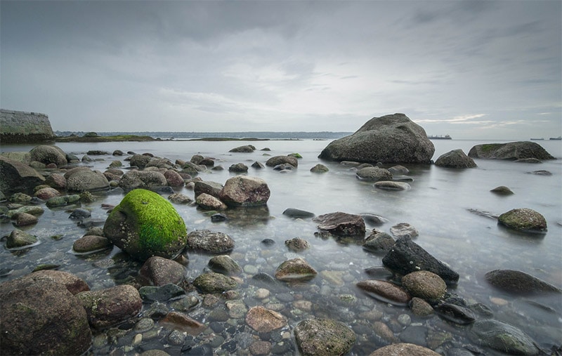
Stanley Park borders downtown Vancouver and provides excellent views of the city, English Bay, and Vancouver Harbour. Large parts of the park are heavily forested. The park includes a pedestrian path along the seawall, hiking trails, beaches, and lakes. If you are in the Vancouver area and looking for some nature, Stanley Park is a great option.
The Discovery Islands
The Discovery Islands is a group of islands between Vancouver Island and mainland British Columbia. Quadra Island and Cortes Island can be reached by ferries from the town of Campbell River on Vancouver Island. Other islands can be reached by private boats. The amazing scenery and wildlife make the Discovery Islands worth the effort.
Haida Gwaii
Haida Gwaii is an archipelago of many islands on the west coast of Bristish Columbia. It is north of Vancouver Island and south of Alaska. There are two main islands, Graham Island and Morseby Island, along with more than 100 smaller undeveloped islands. Haida Gwaii was formerly known as the Queen Charlotte Islands. Gwaii Haanas National Park Reserve and Haida Heritage Site protects part of this area, mostly on Morseby Island. Haida Gwaii can be accessed by airplane or ferry.
At Haida Gwaii you will find amazing natural beauty. Graham Island and Morseby Island have few roads, but there is plenty to see, especially if you are willing to hike. You can find amazing forests, shipwrecks, beaches, sand dunes, and overlooks.
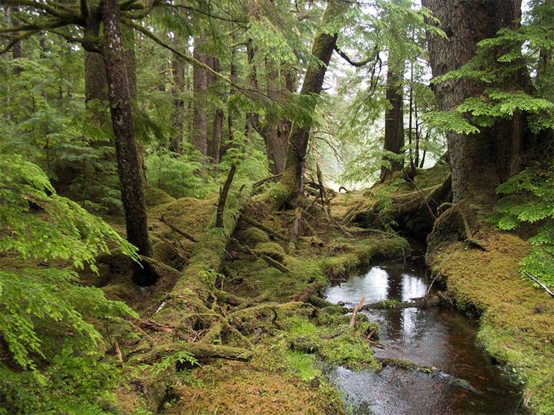
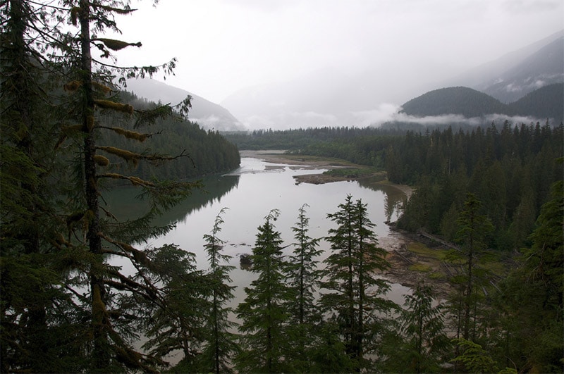
Great Bear Rainforest
The Great Bear Rainforest is a huge wilderness area on the central and north coast of British Columbia. It represents one of the world’s largest tracts of temperate rainforest. It is home to Kermode bears, grizzlies, wolves, cougars, and more. In addition to the wildlife, the forest and landscape is equally impressive. This area includes many inlets and fjords, which add to the natural beauty. Like many wilderness areas, access isn’t easy. There are few roads and most visitors arrive by float plane or boat.
Alaska Highway
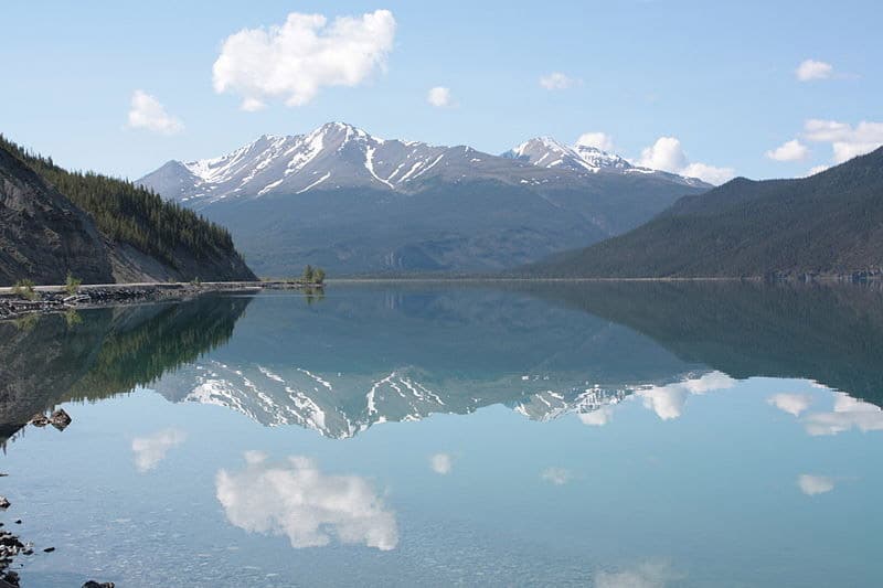
The Alaska Highway was built to connect the contiguous United States with Alaska, through Canada. It starts in Dawson Creek, eastern British Columbia, and runs through the Yukon Territory on into Alaska. The highway provides some amazing scenery through otherwise remote areas. One highlight in British Columbia is Muncho Lake Provincial Park. The highway runs through the park and right along beautiful Muncho Lake.
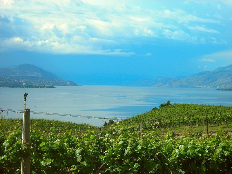
Okanagan Lake and Okanagan Valley
Okanagan Lake is a very long (about 135 km) lake in southern British Columbia. Many towns surround the lake and make up the Okanagan Valley. There are also several parks along the lake, including Okanagan Lake Provincial Park on the west side of the lake. There are many picturesque orchards and vineyards in the valley.
Myra Canyon
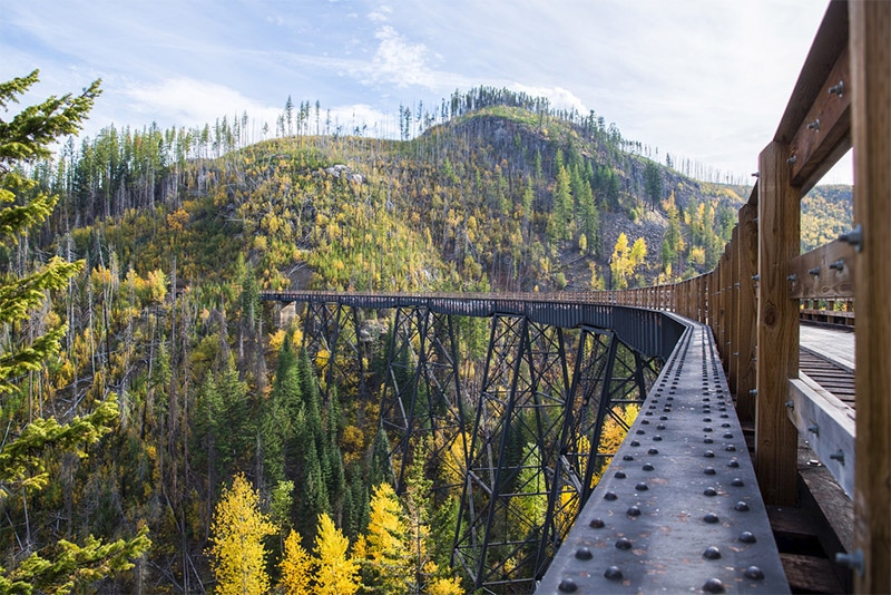
Myra Canyon is a beautiful area in southern British Columbia. There are trails for hiking and biking, along with trestle bridges, that will give you plenty of great views to photograph, including views of the Okanagan Valley.
Chilliwack Lake Provincial Park
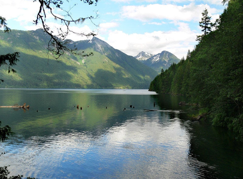
Chilliwack Lake Provincial Park is in southern British Columbia, north of North Cascades National Park in Washington. The park features mountains and a beautiful glacial valley with a lake. Chilliwack Lake is reachable by car, and hiking trails are also available in the park. There is a trail to the smaller, but also picturesque, Lindeman Lake.
Photo license links: CC BY 2.0, CC BY-SA 2.0, CC BY-SA 3.0, CC BY-SA 4.0, CC0, CC BY-ND 2.0

