You may be surprised by the natural beauty that is available in Nebraska. The state has much more to offer than simply corn fields and flat plains. On this page we’ll highlight some of the best places in Nebraska for landscape and nature photographers. The interactive map below shows the location of each spot mentioned on this page.
This page will continue to be a work in progress, so please feel free to leave a comment with your own suggestions of great places to photograph.
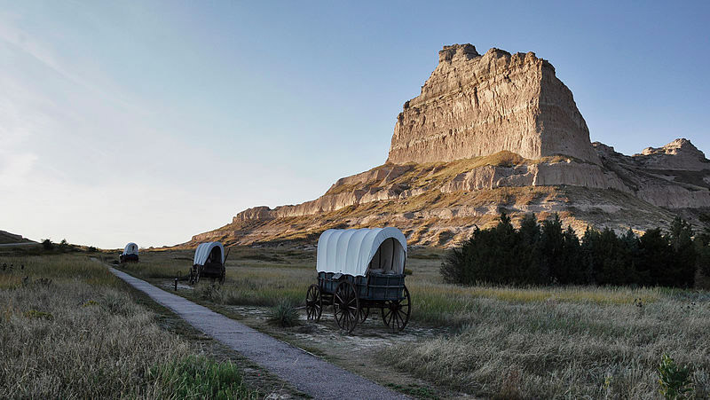
Scotts Bluff National Monument
Scotts Bluff National Monument in western Nebraska served as an important landmark for travelers on the Oregon Trail and Mormon Trail. Scotts Bluff rises more than 800 feet above the surrounding landscape. There are several different trails that lead to overlooks and vistas with amazing views. Of course, you can also photograph the formation from below.
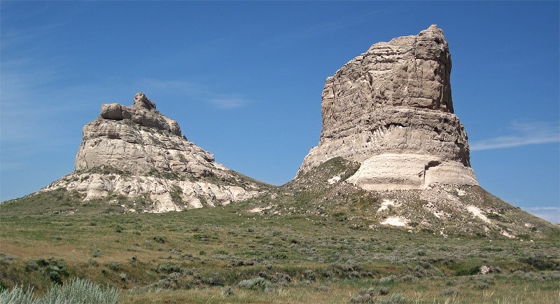
Courthouse Rock and Jail Rock
Like Scotts Bluff, Courthouse Rock and Jail Rock were landmarks along the Oregon Trail in western Nebraska. The clay and sandstone formations rise more than 400 feet above the valley. State Highway 88 provides easy access. This location is about 40 miles southeast of Scotts Bluff National Monument.
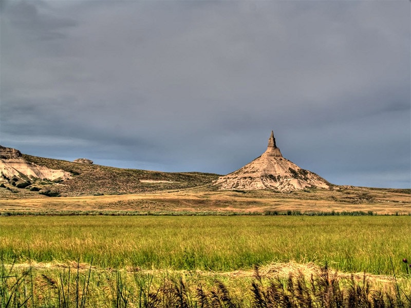
Chimney Rock
Chimney Rock is located about halfway between Courthouse Rock and Scotts Bluff National Monument. This 300-foot rock formation, like the others, was a landmark along the Oregon Trail. This unusual, thin spire is great for photographing. It is a few miles off of State Highway 92.
Oglala National Grassland
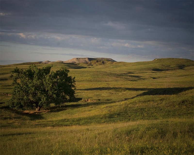
The Oglala National Grassland is located in far northwestern Nebraska. Here there are 94,000 acres of mixed grass prairie. This is a great place to photograph the beautiful prairies of Nebraska.
Toadstool Geologic Park
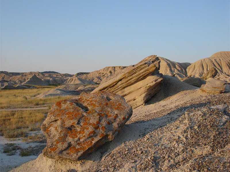
Toadstool Geologic Park is within the Oglala National Grassland. This badlands area features very unique rock formations that are excellent subjects for your photos. A one-mile loop trail will give you great access and allow you to find plenty to photograph. Here you can get photos of a landscape that you probably wouldn’t associate with the typical Nebraska landscape.
Platte River Valley (Sandhill Crane Migration)
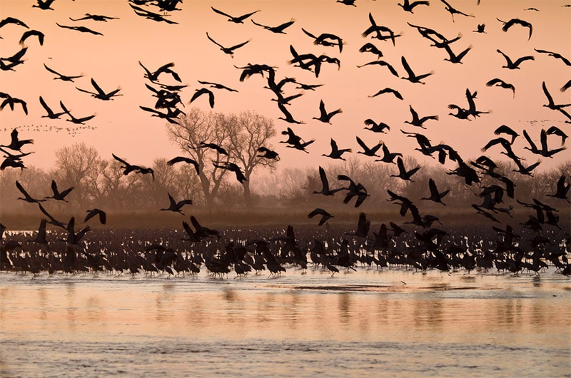
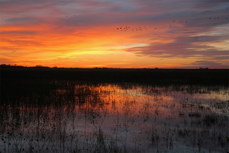
Each spring about 500,000 sandhill cranes visit the Platte River. During this time you can photograph this great spectacle that you won’t find anywhere else. Small photo blinds are available for getting close to the cranes, and you can read more about that experience on this page.
Agate Fossil Beds National Monument
Agate Fossil Beds National Monument is in western Nebraska, about 50 miles north of Scotts Bluff National Monument. It is also about 50 miles south of Toadstool Geologic Park. The national monument includes prairies and a valley of the Niobrara River that contain fossils. Aside from the fossils, that landscape itself is beautiful and worth photographing. The Daemonelix Trail and Fossil Hill Trails provide easy ways to see the area.
Niobrara National Scenic River
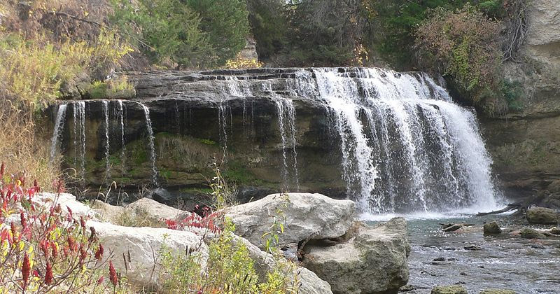
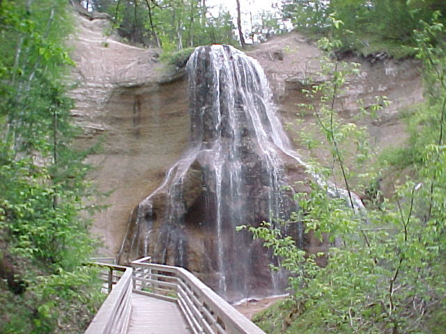
Niobrara National Scenic River includes 76 miles of the Niobrara River in north central Nebraska. This area also includes several waterfalls that flow over canyon walls into the river. the highest is Smith Falls at more than 60 feet. This area of the river is popular for canoeing and kayaking.
Fort Niobrara National Wildlife Refuge
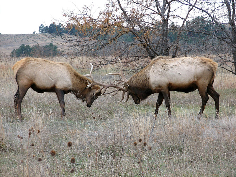
Fort Niobrara National Wildlife Refuge in north central Nebraska borders the Niobrara National Scenic River on the west. The refuge features bison and elk, as well as a beautiful landscape that includes several waterfalls. Fort Falls is the most popular of the waterfalls. It is accessible by a short trail from the parking lot. There is a 3.5 mile auto tour that you can take to see bison and much of the landscape of the area. Along the tour is an overlook that provides views of the sandhill region.
DeSoto National Wildlife Refuge
The DeSoto National Wildlife Refuge is in eastern Nebraska and western Iowa. It is about 30 miles north of Omaha. The Missouri River runs through the refuge and has actually been re-routed to create DeSoto Lake. The refuge is home to deer, coyotes, turkey, beavers, raccoons, and many kinds of birds.
Rainwater Basin Wetland
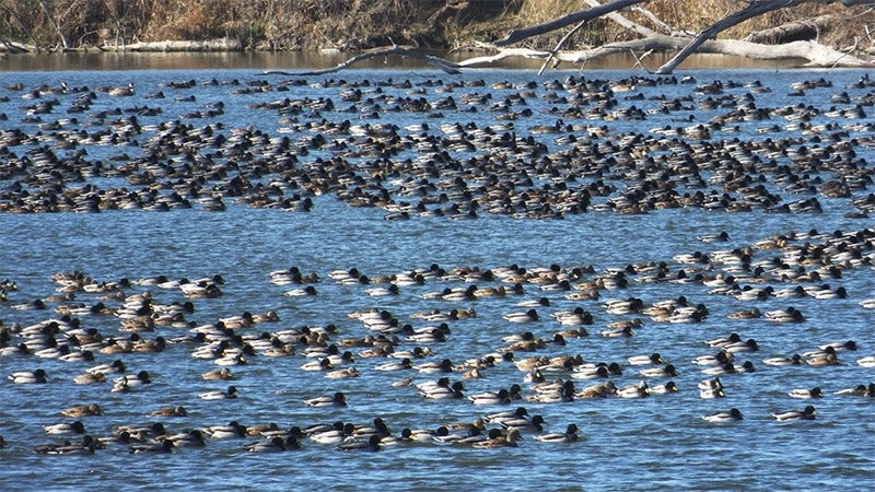
The Rainwater Basin is a region of wetlands in south central Nebraska, south of the Platte River. During spring and fall millions of migratory birds come through the area. the Rainwater Basin is in parts of 21 different counties, with the Rainwater Basin Wetland Management District managing 61 different locations.
Snake River Falls
In north central Nebraska near the town of Valentine is Snake River Falls. Here the water falls over a 50-foot wide ledge, resulting in a picturesque scene. There is a road off of State Highway 97 that leads to the falls.
Sandy Channel State Recreation Area
The Sandy Channel State Recreation Area is in south central Nebraska, just south of the Platte River. The area includes several different lakes and is popular for boating and fishing. For the best views you can explore the area by boat.
Lewis and Clark State Recreation Area
The Lewis and Clark State Recreation Area is in northern Nebraska along the Missouri River. This area offers recreation on the water, as well as scenic overlooks. It is also popular for bird watching, especially bald eagles.
Sandhills
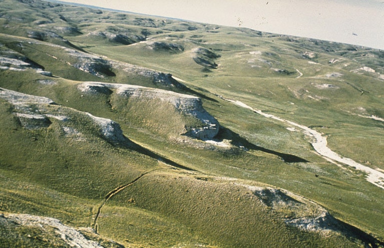
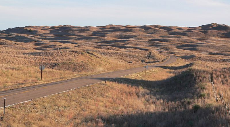
The Sandhills is a region of north central Nebraska that includes mixed grass prairies and grass-covered sand dunes. The rolling hills make it a beautiful landscape that is ideal for photographs. Here you can drive and find photo opportunities along the road. The best way to explore is along State Highway 2, which is also known as the Sandhills Journey Scenic Byway.
Want to learn more about neighboring states? Please see:
- The Best Places to Photograph in South Dakota
- The Best Places to Photograph in Wyoming
- The Best Places to Photograph in Colorado
- The Best Places to Photograph in Kansas
- The Best Places to Photograph in Missouri
- The Best Places to Photograph in Iowa
Photo license links: CC BY-SA 2.0, CC BY-SA 3.0, CC BY 2.0,

