When it comes to mountain photography there are few locations, if any, that are better than Colorado. This Rocky Mountain state is home to some iconic destinations that are very popular with photographers, and there are plenty of other lesser-known locations throughout the state that offer amazing views as well. On this page we’ll highlight many of the best places in Colorado for landscape and nature photographers. The interactive map below shows the location of each spot mentioned on this page.
This page will continue to be a work in progress, so please feel free to leave a comment with your own suggestions of great places to photograph.
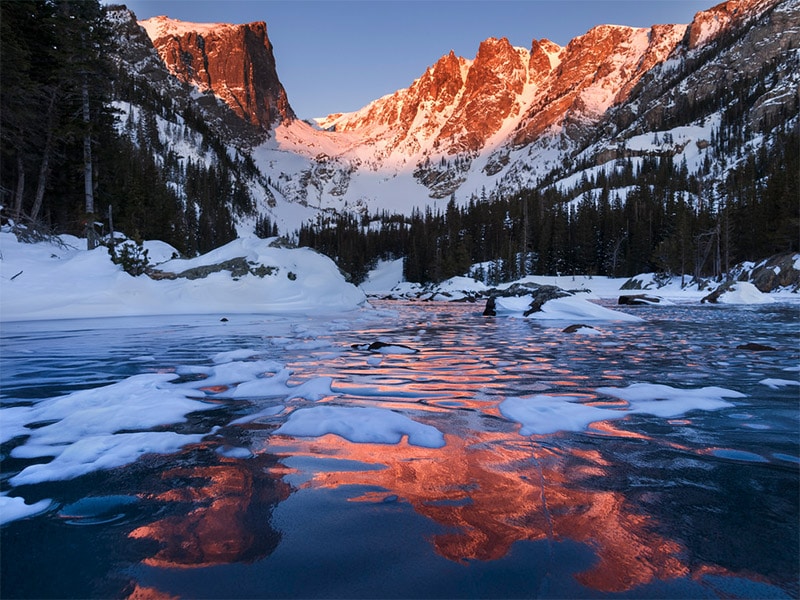
Rocky Mountain National Park
Rocky Mountain National Park is a great place to find beautiful mountain scenery, and it is conveniently located just northwest of Boulder and Denver. Trail Ridge Road provides many overlooks and easy access to some great views from elevations as high as 12,000 feet. Another scenic drive is available on Old Fall River Road. This gravel road is much less crowded than the more popular Trail Ridge Road, but is definitely worth the drive.
Some other points of interest for photographers within the park are Sprague Lake, Bear Lake, and Ouzel Falls. Wildlife within the park includes black bears, coyotes, bighorn sheep, moose, elk, cougars, and pikas.
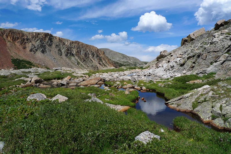
Indian Peaks Wilderness
The Indian Peaks Wilderness is south of Rocky Mountain National Park, and also conveniently close to Boulder and Denver. There are 7 different peaks of at least 13,000 feat within the wilderness. There are many different trails that make it possible to explore the area on foot and get some amazing views. The Brainard Lake area is popular among hikers.
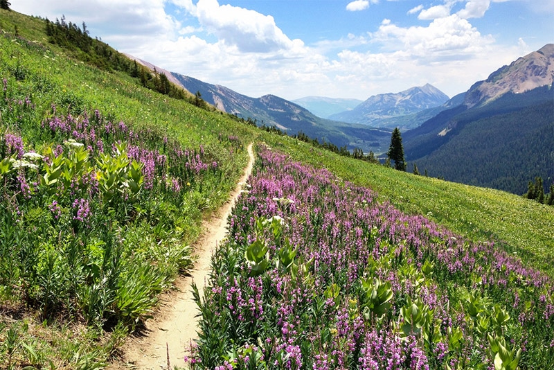
Crested Butte
Crested Butte is a town in western/central Colorado that is popular for skiing and mountain biking, and it also offers spectacular views for photographers. Kebler Pass Road provides some of the best views in the area. This 30-mile gravel road heads west from Crested Butte and links up with Highway 133. It will take 1-2 hours of driving time to travel Kebler Pass Road and you’ll get plenty of photo opportunities along the way.
Great Sand Dunes National Park and Preserve
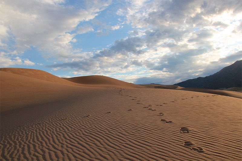
In southern Colorado, Great Sand Dunes National Park and Preserve features the tallest sand dunes in North America. The dunes rise as high as 750 feet above the San Luis Valley. In addition to the dunes, the park also includes mountain lakes, grasslands, wetlands, and alpine forests. There are no hiking trails within the dunes, although you can explore the dunes on foot. There are trails in other sections of the park. If you have a 4-wheel-drive with high clearance, Medano Pass Primitive Road is great option as well. The park also offers a photography brochure with some helpful information.
Black Canyon of the Gunnison National Park
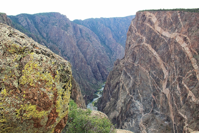
Black Canyon of the Gunnison National Park is located in western Colorado. The canyon of the Gunnison River is about 48 miles long, and about 12 miles is contained within the national park. These 12 miles are the deepest and most dramatic section of the canyon. Some parts of the gorge are so deep and narrow that they only receive about 30 minutes of sunlight per day, which is the origin of the name “Black Canyon”. There are a few different scenic drives in the park that offer amazing views with relatively easy access. Several hiking trails are also available.
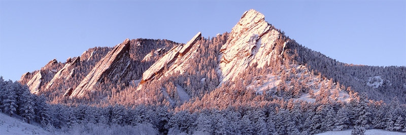
Boulder Flatirons
These rock formations are an iconic symbol of the city of Boulder. There are five different numbered Flatirons and several named Flatirons. There are several different trails in the area that will give you a nice view for photographing the Flatirons, including Flatirons Vista Trailhead.
Red Rocks
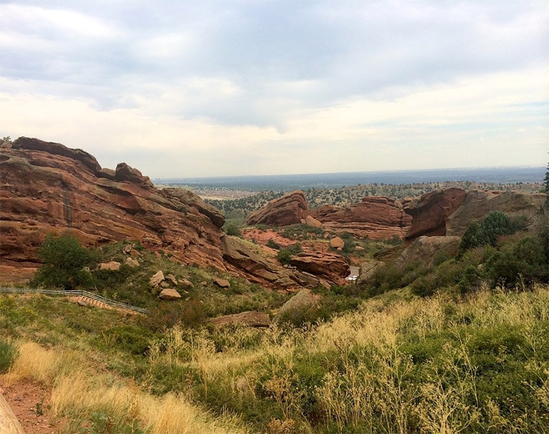
Red Rocks Amphitheater and Park is a famous concert venue in a natural setting. It is located just outside of Denver and also includes hiking trails with beautiful views.
Garden of the Gods
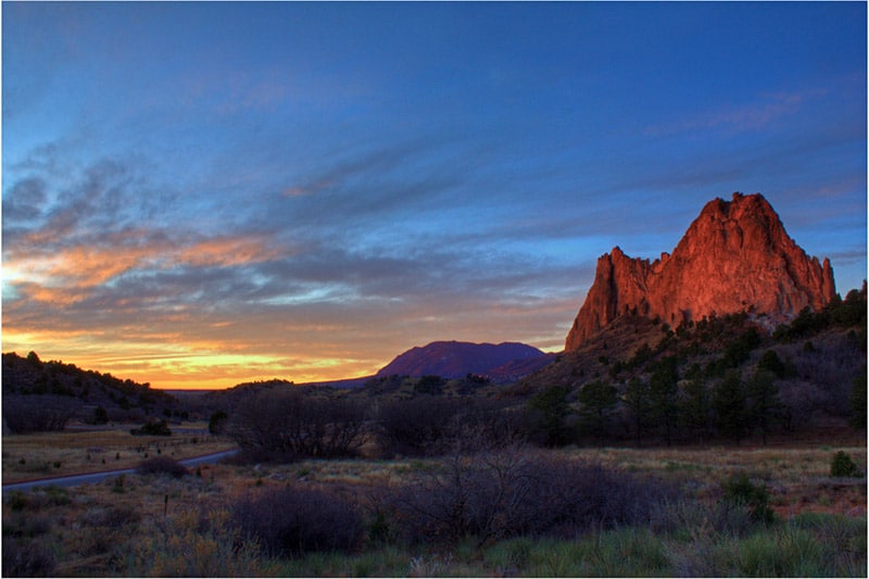
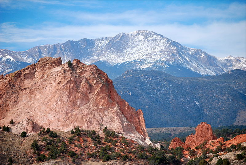
Located in Colorado Springs, central Colorado, Garden of the Gods is a park that offers amazing views and unique rock formations that should not be missed. The one-mile Perkins Central Garden Trail lead you through the heart of the park and provides views of several noteworthy rock formations.
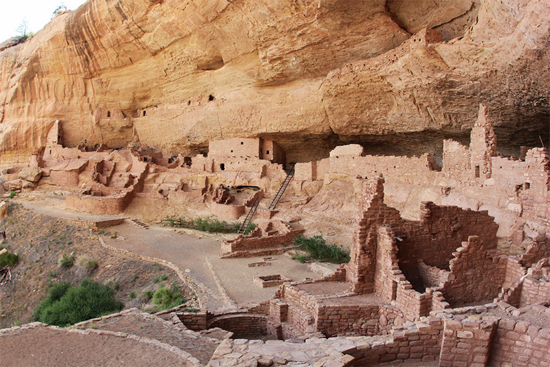
Mesa Verde National Park
Mesa Verde National Park in southwestern Colorado protects a well-preserved Ancestral Puebloan site. Obviously the park is historically significant, but it also offers some unique photographic opportunities. Guided and self-guided tours are available, as well as trails for hiking.
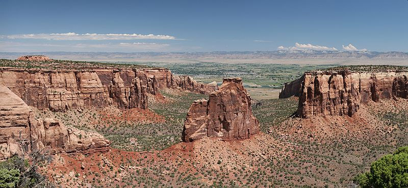
Colorado National Monument
Colorado National Monument is in western Colorado near the town of Grand Junction. The park’s amazing rock formations make it a great place for photographers. Rim Rock Drive provides plenty of outstanding views of the canyon. Grand View and Book Cliffs View are among the most popular sites.
Dallas Divide
The Dallas Divide is a high mountain pass in southwestern Colorado near Telluride. It is on State Route 62 and provides stunning mountain views.
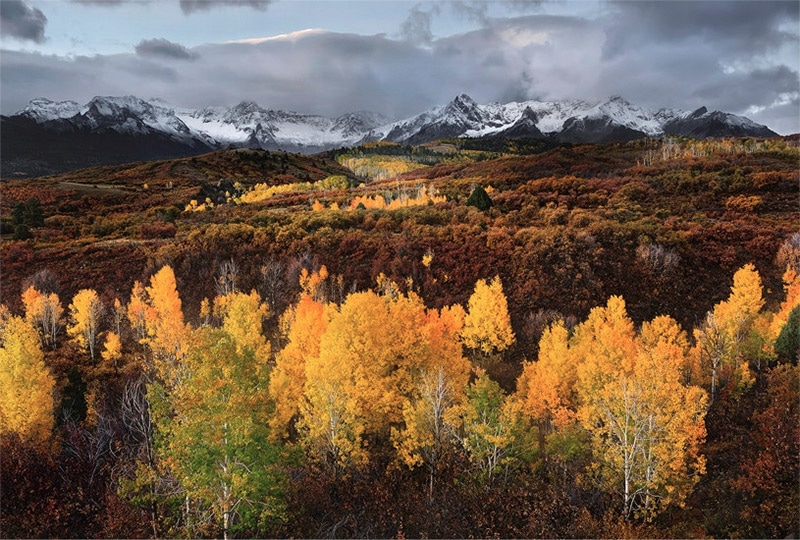
Last Dollar Road
Last Dollar Road runs between State Routes 62 and 145 near the Dallas Divide. This unpaved road is best traveled in an SUV or truck with some clearance. Here you will find some of the best views of the San Juan Mountains and countless photo opportunities.
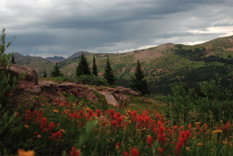
Shrine Pass
Shrine Pass is a mountain pass at an elevation of 11,000 feet in central Colorado. There is a narrow, unpaved road that leads through the pass to provide some amazing views. The road is usually best traveled in a 4-wheel-drive, but in good conditions it can be traveled by just about any car.
Chimney Rock National Monument
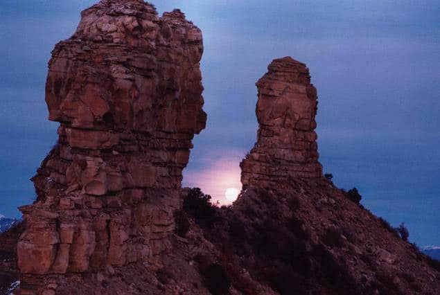
Chimney Rock National Monument in southwestern Colorado is home to an archaeological site and the 315-feet-tall Chimney Rock, as well as Companion Rock. The rock formations and rugged scenery are excellent photographic subjects.
Glenwood Canyon
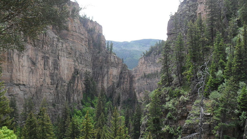
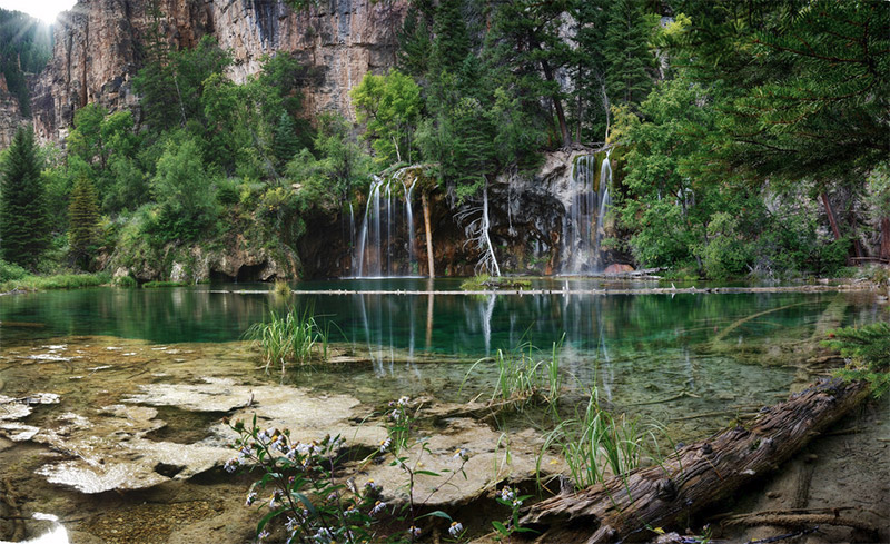
Glenwood Canyon is a 12-mile canyon along the Colorado River in western Colorado with canyon walls that reach as high as 1,300 feet above the river. This beautiful area is easy to access with Interstate 70 being right there. Rest areas along Interstate 70 provide trail access to explore on foot. The Hanging Lake Rest Area provides access to the stunning lake and waterfalls in the area.
Golden Gate Canyon State Park
Golden Gate Canyon State Park is west of Denver and southwest of Boulder. The park includes more than 30 miles of hiking trails for exploring the forest and mountains.
Roxborough State Park
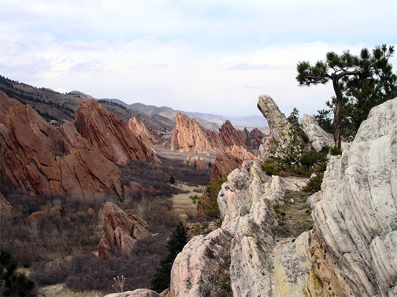
Roxborough State Park is located outside of Denver and is known for its beautiful red rock formations. The park also includes woodlands, prairies, and abundant wildlife. the wildlife includes many species of birds, black bear, coyote, elk, mountain lion, and more. There are several trails that provide plenty of great views, including Fountain Valley Overlook.
McInnis Canyons National Conservation Area
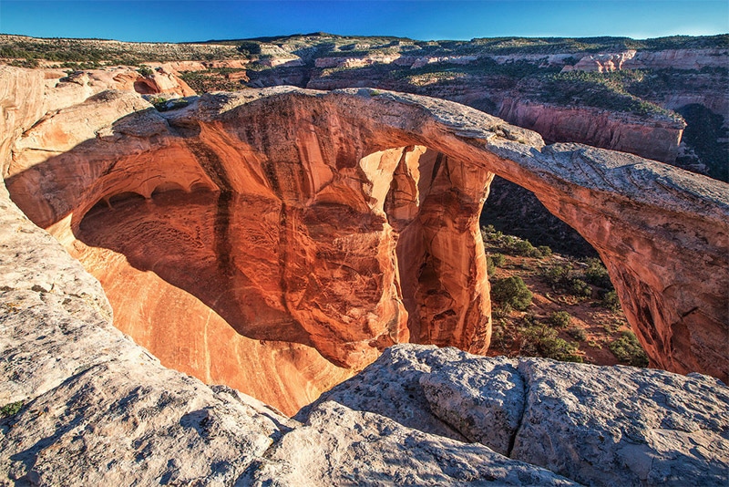
McInnis Canyons National Conservation Area is in western Colorado, west of Grand Junction. It features beautiful sandstone canyons, natural arches, spires and rock formations. Rattlesnake Arches is a section that includes a large number of natural arches. Throughout the world only Arches National Park in Utah has a higher concentration of natural arches. Many hiking trails provide access to great views.
Weminuche Wilderness
The Weminuche Wilderness is located in southwestern Colorado within the San Juan National Forest. The towns of Durango, Silverton, and Pagosa Springs are common starting points for trips into the wilderness. There are several hiking trails available, and the Ice Lakes hike is a great option.
Dinosaur National Monument
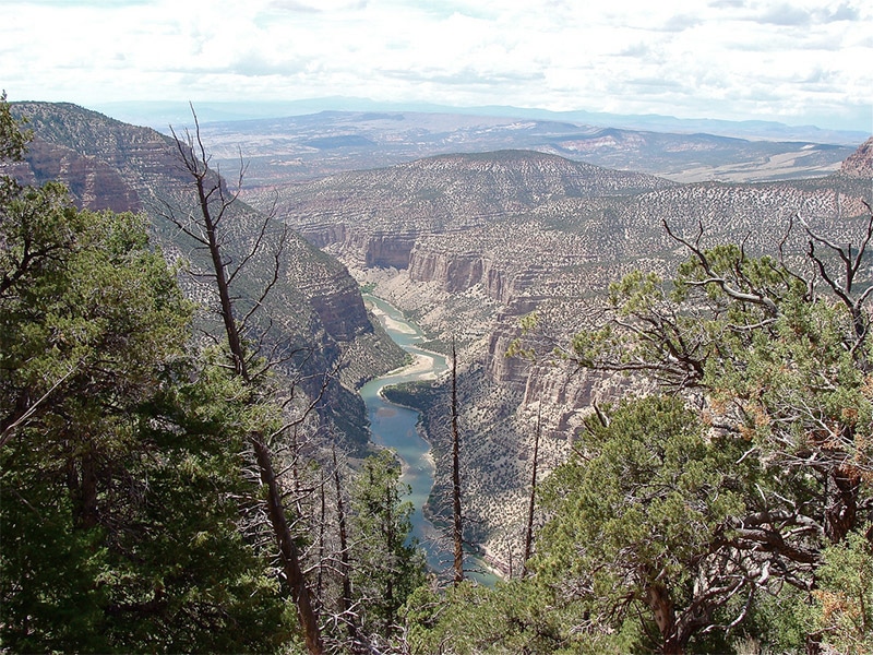
Dinosaur National Monument is in northwestern Colorado and extends a little bit into Utah. Although the area is known for its dinosaur fossils, the landscape is quite spectacular too. The Green River Canyon is a great photographic subject. Several different roads and hiking trails provide access to the area. Yampa Bench Road and Harpers Corner Road provide excellent views.
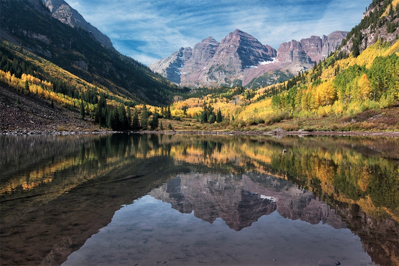
Maroon Bells and Maroon Lake
Located near Aspen, the Maroon Bells are two peaks that are among the most-photographed locations in Colorado. With the beautiful lake in the foreground, this is an iconic shot. The area is extremely popular. During the summer you can access it by car before 8:00 AM or after 5:00 PM, but between 8:00 – 5:00 you will need to take a bus.
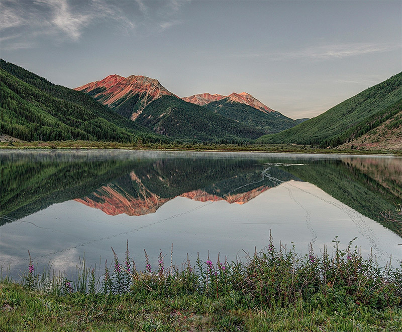
Crystal Lakes
Upper Crystal Lake and Lower Crystal Lake, connected by Crystal Creek, provide great photo opportunities. If you like beautiful mountain lake shots this is a place you will want to visit. It is about 90 miles southwest of Denver. Lower Crystal Lake can be accessed with a 4-wheel-drive, or there is an 8-mile hike that provides plenty of views.
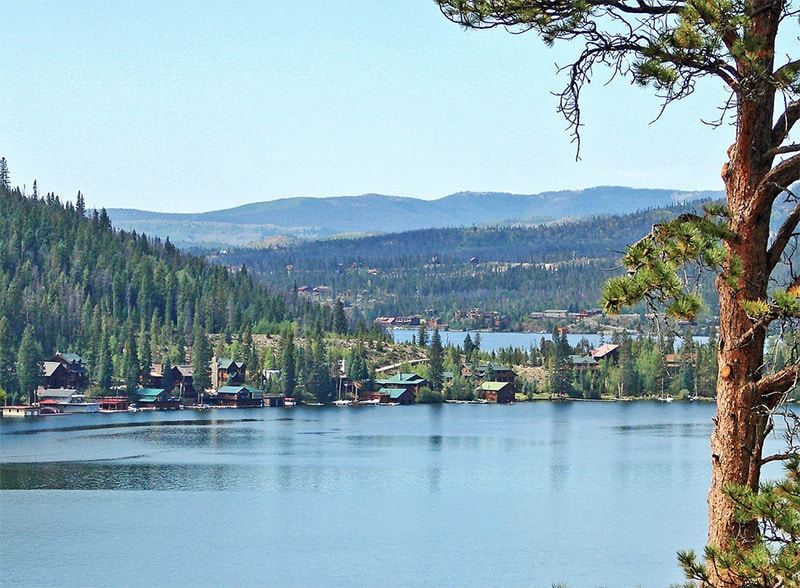
Grand Lake
Grand Lake is located just south of Rocky Mountain National Park and is an excellent place to get mountain and lake photographs.
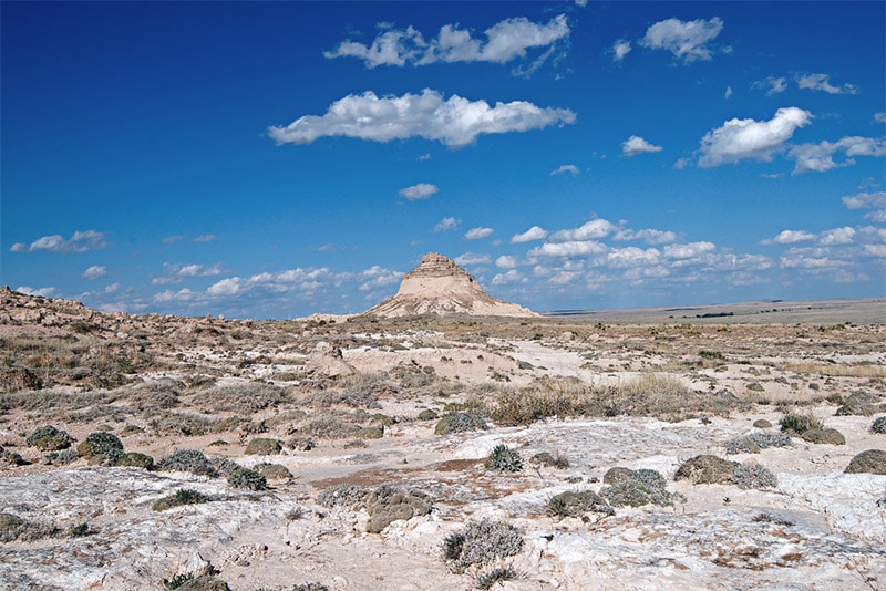
Pawnee Buttes
The Pawnee Buttes are two buttes in the Pawnee National Grassland of northeastern Colorado. The Pawnee Buttes Trail (1.5 miles) provides views of the buttes.
Flat Tops Wilderness
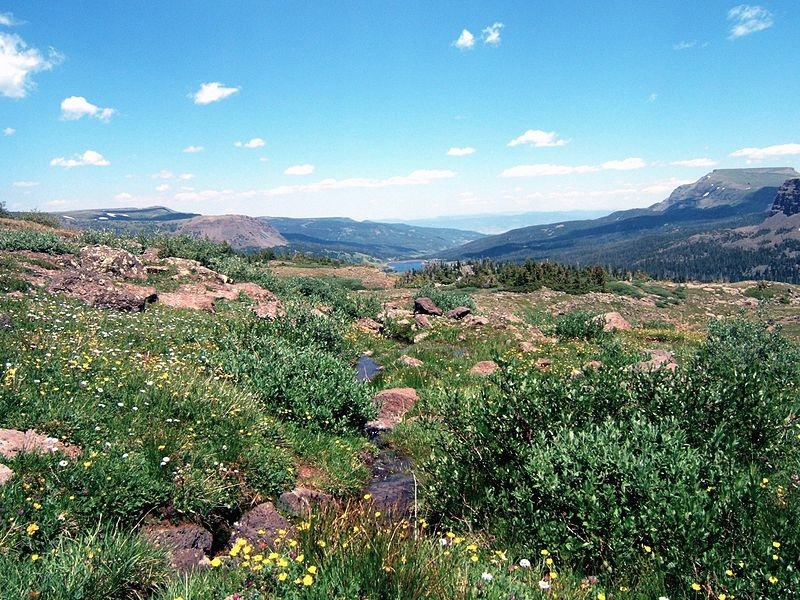
The Flat Tops Wilderness features beautiful mountain scenery and more than 100 lakes and ponds, including Trappers Lake.
Pikes Peak
Pikes Peak is more than 14,000 high and rises 8,000 feet above nearby Colorado Springs. You can drive up Pikes Peak, tail the railroad, or photograph it from nearby Garden of the Gods (as seen in the photo below.
Mount Evans
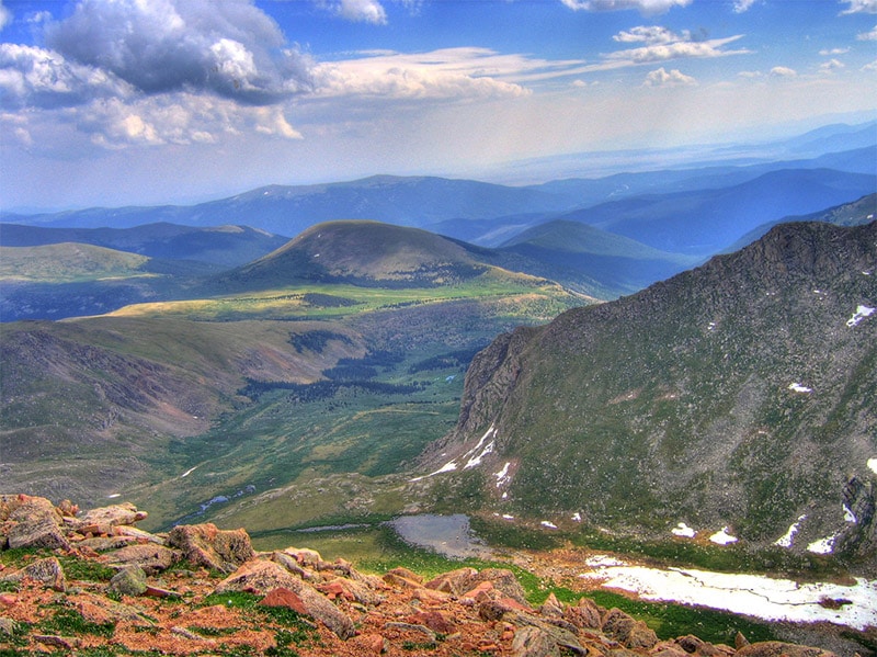
Mount Evans is a 14,000-foot-high mountain that is located southwest of Denver. The Mount Evans Scenic Byway provides access from Idaho Springs to the peak, although it is generally only open from Memorial Day through Labor Day. It is the highest paved road in North America.
Bridal Veil Falls
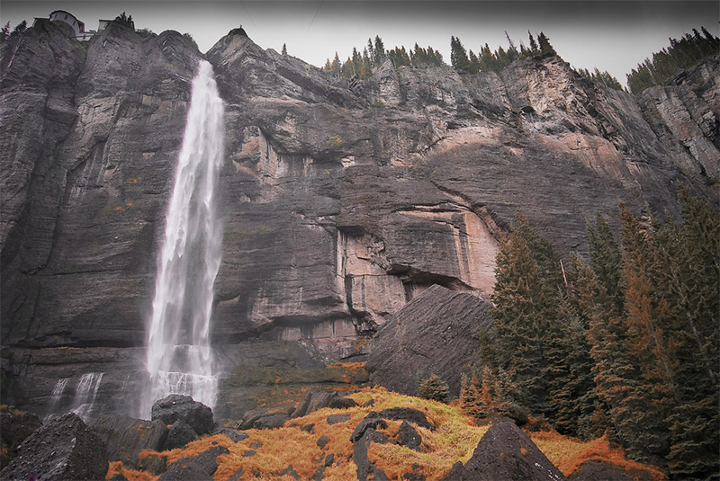
Bridal Veil Falls is a 365-foot waterfall that overlooks Telluride. You can hike or bike about 1.8 miles to reach the falls.
Fish Creek Falls
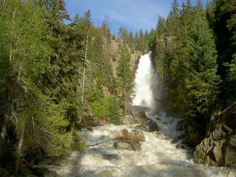
Fish Creek Falls is a 280-foot waterfall near Steamboat Springs. There is a road that leads to a parking lot for the falls, but it is often crowded in the summer.
Photo license links: CC BY-ND 2.0, CC BY 2.0, CC BY-SA 3.0, CC BY-SA 4.0, CC BY-SA 2.0, CC0, GNU







I didn’t see Dream Lake in the Rocky Mountains NP on your list.
Thanks for the suggestion Jane. We plan to update the post so we’ll keep that location in mind.
The Crystal Lake you have a picture of is different than the one that is linked with the trail head. The Crystal Lake in the photo is off of the Million Dollar Highway near Ouray at 37°57’31.5″N 107°39’52.1″W, the one linked in the trail head is near Breckenridge.
Great list! I love so many of these locations! I’ve been to 80% of them.
I also spent a really good time there during my last journey and came back with unforgettable memories.