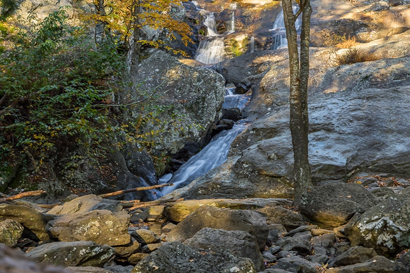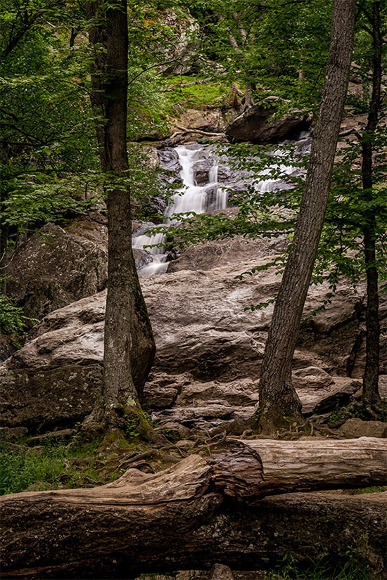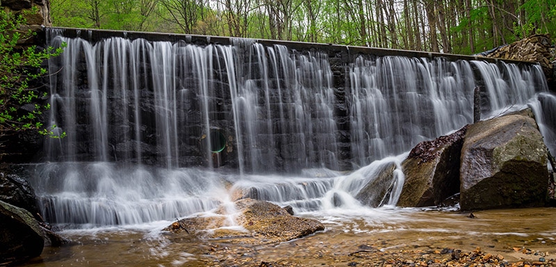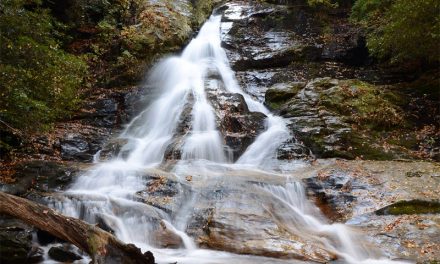
Kilgore Falls by Marc Andre
Despite being a smaller state Maryland has quite a bit of diversity in its landscape. Much of state is on or near the Chesapeake Bay, and the eastern state also includes beaches of the Atlantic Ocean. Maryland also has rugged mountains and flowing waterfalls, as well as fields of sunflowers. This page will showcase some of the best locations for landscape photographers. The interactive map below shows the location of each spot mentioned on this page.
This page will continue to be a work in progress, so please feel free to leave a comment with your own suggestions of great places to photograph.
Swallow Falls State Park
Located in western Maryland near the West Virginia line is Swallow Falls State Park. This mountain park offers some of the best scenery in the state, is home to several waterfalls, and the Youghiogheny River flows through the park. Muddy Creek Falls is more than 50 feet high. You’ll find beautiful scenery including gorges and forest, including 300+ year-old hemlocks.
Rocks State Park
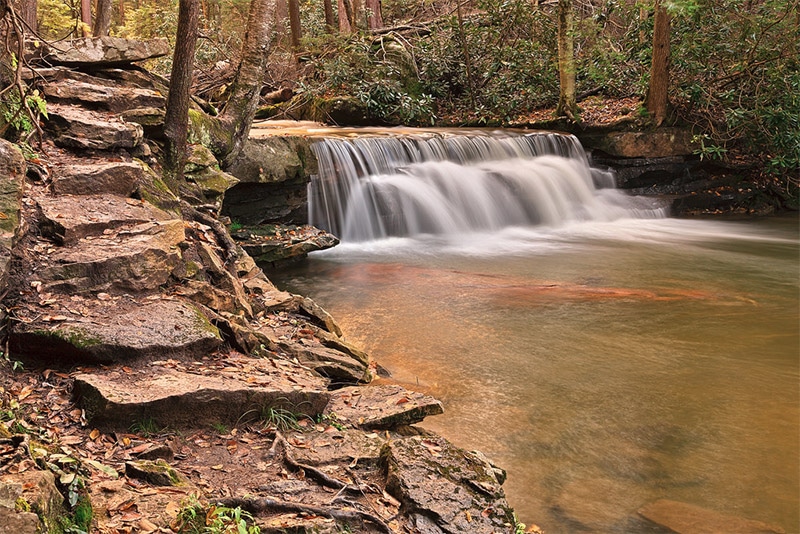
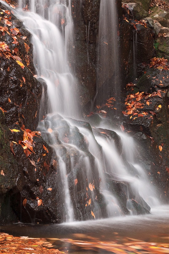
Located in Harford County, northeast Maryland, Rocks State Park includes boulders, forest, a creek, and waterfalls. The King and Queen Seat is a natural 190 foot rock outcrop that provides a great view of the area. Another area of note is Kilgore Falls (pictured below), one of the most beautiful waterfalls in Maryland.
For details, please see our Guide to Photographing Rocks State Park.

Photo by Marc Andre
Patapsco Valley State Park
Located west of Baltimore, Patapsco Valley State Park includes 32 miles of the Patapsco River and 70 miles of trails. Some of the most popular spots for photography include Cascade Falls, swinging bridges, and streams. The park has several different sections and many different trails, so be sure to research and plan ahead of time. The park’s website includes details on the various sections and trails.
Gunpowder Falls State Park
Located near the Chesapeake Bay, Gunpowder Falls State Park includes the Gunpowder River and more than 100 miles of trails. The park includes wetlands as well as rugged slopes. There are several different sections to the park, so you’ll want to plan ahead and know where you want to go. Highlights are the park include the trails right along Big and Little Gunpowder Falls. For those in the Baltimore area, this is one of the best local places to experience and photograph nature.
For details, please see our Guide to Gunpowder Falls State Park.
Cunningham Falls State Park
Located in northern Maryland near the town of Thurmont (and south of Gettysburg, PA) is Cunningham Falls State Park. This is a beautiful area in the Catoctin Mountains. The park is actually in two different sections, with the William Houck Area west of Thurmont being the part that is likely to be of the most interest for photography. The William Houck Area includes a man-made lake, hiking trails, and a 78-foot cascading waterfall. There is not a great volume of water flowing (at most times), but it is still a picturesque waterfall. You’ll need to hike to reach the falls, but the lower trail is a relatively easy 1/2 mile hike.
For more details, see our Guide to Cunningham Falls.
Catoctin Mountain Park
Catoctin Mount Park is managed by the National Parks Service and lies directly next to Cunningham Falls State Park, and you can actually access Cunningham Falls by trail through Catoctin Mountain Park as well. The shortest hike originating in Catoctin Mountain Park to reach the falls is a 1.5 mile hike. Aside from the falls, Catoctin Mountain Park also includes beautiful mountain scenery and some amazing vistas (including Hog Rock Vista and Thurmont Vista). There are trails that will give you plenty of photographic opportunities.
For details, see our Guide to Catoctin Mountain Park.
Susquehanna State Park
In northern Maryland Susquehanna State Park is located on the west bank of the Susquehanna River. Rock Run Falls and the Rock Run Grist Mill are popular attractions within the park. You can also find great river views or hike on several outstanding trails. In the fall this park is especially beautiful.
For details, please see our Guide to Susquehanna State Park.
Annapolis Rock on Appalachian Trail
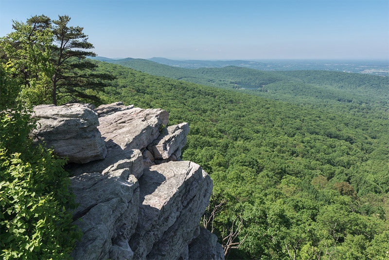
In northern Maryland the Appalachian Trail includes the Annapolis Rock / Black Rock Cliff Hike. Both lookouts provide amazing views that go on for miles. The hike is about 5 miles round trip to reach Annapolis Rock, and about 8 miles round trip if you want to reach both Annapolis Rock and Black Rock Cliff. See the directions on this page.
Loch Raven Reservoir
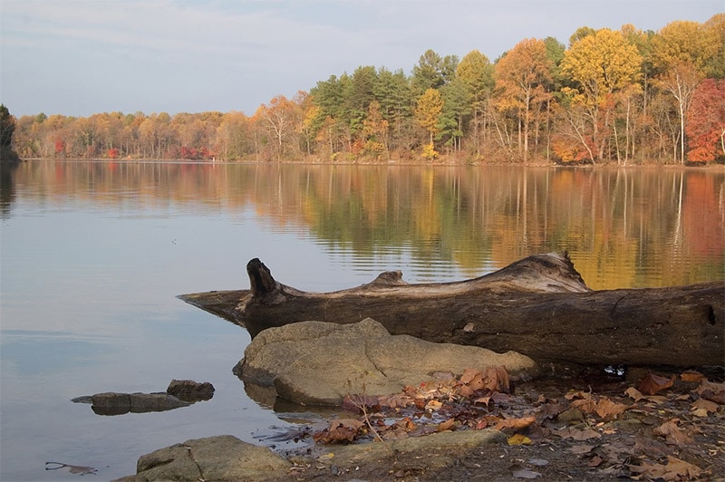
Lock Raven Reservoir is located north of Baltimore and offers plenty of opportunities for nature lovers. There are miles of hiking trails, plenty of plants and wildlife (many varieties of birds), and scenic water views.
Assateague Island
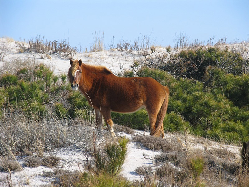
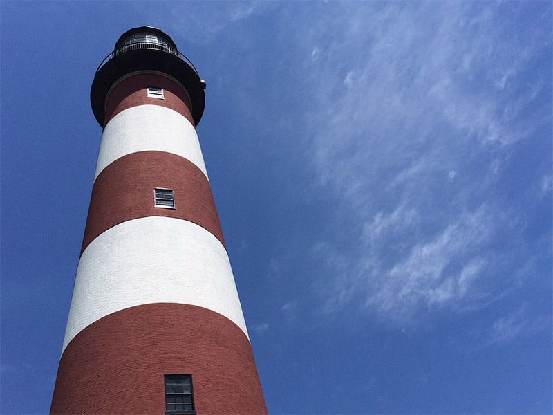
Assateague Island is a 37-mile long barrier island that is known as being the to wild horses (they are technically feral, not wild). The northern part of the island is in Maryland, while the lower portion of the state is art of Virginia. Assateague Island is a great destination for nature and wildlife photography with beaches, marshes, and coves. Camping areas are available on the island, but there is no other development. It can be accessed by bridge from both Maryland and Virginia, but there is no road that connects the two ends.
Concord Point Lighthouse
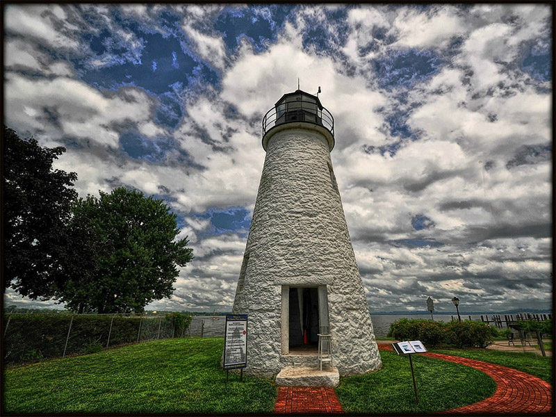
The Concord Point Lighthouse is located in Havre de Grace where the Susquehanna River flows into the Chesapeake Bay. It is a 36-foot tall lighthouse that was built in 1827. The location offers a beautiful view.
Olmsted Island
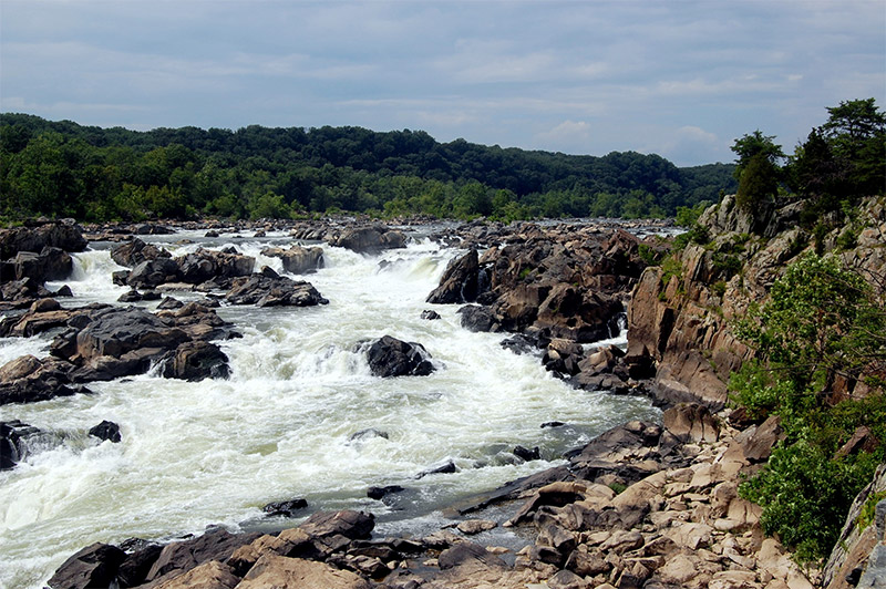
Olmstead Island is located in the Potomac River, not far from Washington, DC. The Potomac separates Maryland from Virginia. The Virginia side is home to Great Falls Park, and the Maryland side is home to the Chesapeake and Ohio Canal National Historic Park. From the Maryland side you can access Olmstead Island to catch a view of the falls.
Sunflower Fields
The sunflower fields throughout the state can also be great places to photograph. One popular location is the McKee-Beshers Wildlife Management Area in central Maryland near the Potomac River. Here there are about 5 acres of sunflowers planted each year to attract game birds. Another popular sunflower field is located in Jarrettsville at the intersection of Jarrettsville Pike and Hess Road. the peak season only lasts a few weeks in late summer or early fall.
For details, please see our Guide to Photographing Sunflowers at the McKee-Beshers Wildlife Management Area.

Photo by Marc Andre
Thomas Viaduct
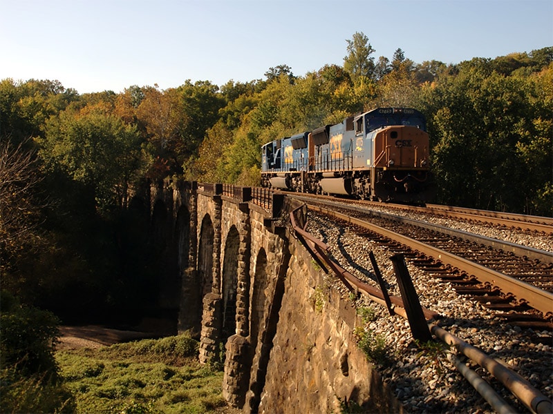
The Thomas Viaduct is over 600 feet long and is one of the oldest railroad bridges still in service (built in 1835). It is located southwest of Baltimore and spans the Patapsco River. The beautiful arches make it a great subject for photographers.
Monocacy Aqueduct
South of Frederick, the Monocacy Aqueduct crosses the Monocacy River just before it empties into the Potomac River. The 500-foot aqueduct with seven arches was built in 1833. It is part of the Chesapeake and Ohio Canal National Historic Park. There is a parking area near the aqueduct and you can photograph from the banks of the river.
For details, please see our Guide to Photographing the Monocacy Aqueduct.

Photo by Marc Andre
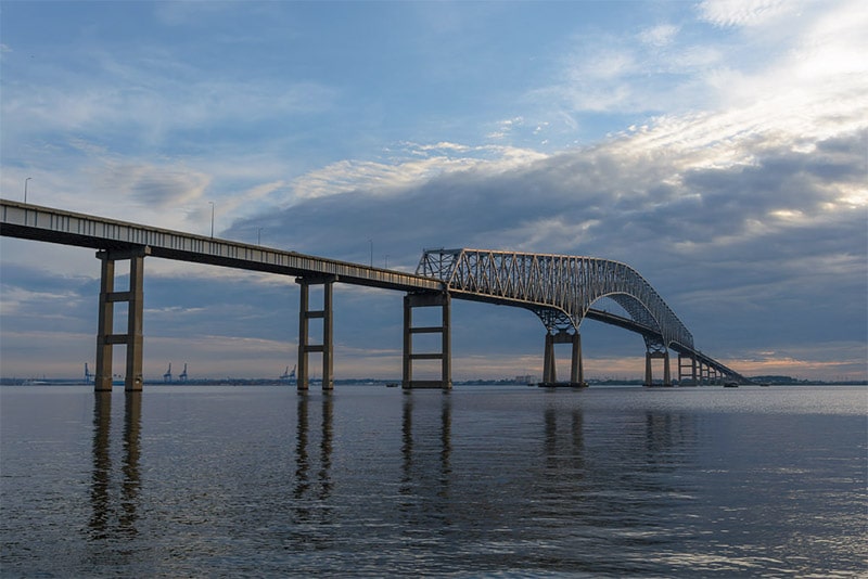
Francis Scott Key Bridge
The Francis Scott Key Bridge crosses the Patapsco River in Baltimore.
Photo license links: CC0, CC BY 2.0, CC BY 3.0, CC BY-SA 2.0, CC BY-SA 3.0, CC BY-ND 2.0

