In Georgia you can photograph many waterfalls, mountains, coastal islands, and even a canyon. On this page you’ll find details about some of the most interesting places in Georgia for landscape and nature photographers. Hopefully it will assist in planning your own photography trips. The interactive map below shows the location of each spot mentioned on this page.
This page will continue to be a work in progress, so please feel free to leave a comment with your own suggestions of great places to photograph.
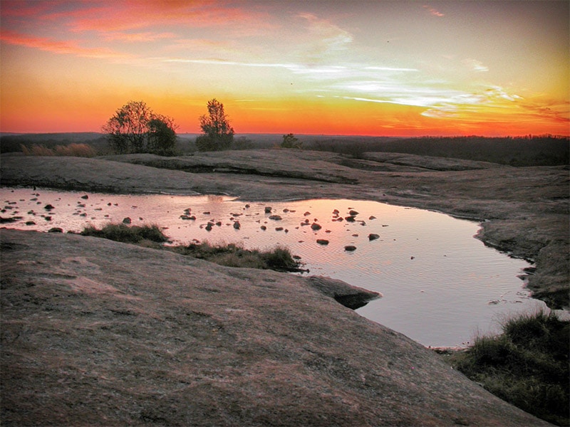
Arabia Mountain
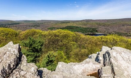
Arabia Mountain is conveniently located about 20 miles southeast of Atlanta. It is one of three monadnocks (an isolated rock hill that rises above mostly flat surrounding land) in the Atlanta area. The others are Stone Mountain and Panola Mountain. Arabia Mountain is popular area for recreation and the beauty of the area makes it great for photography. The Arabia Mountain Top Trail will take you to the summit for a nice view.
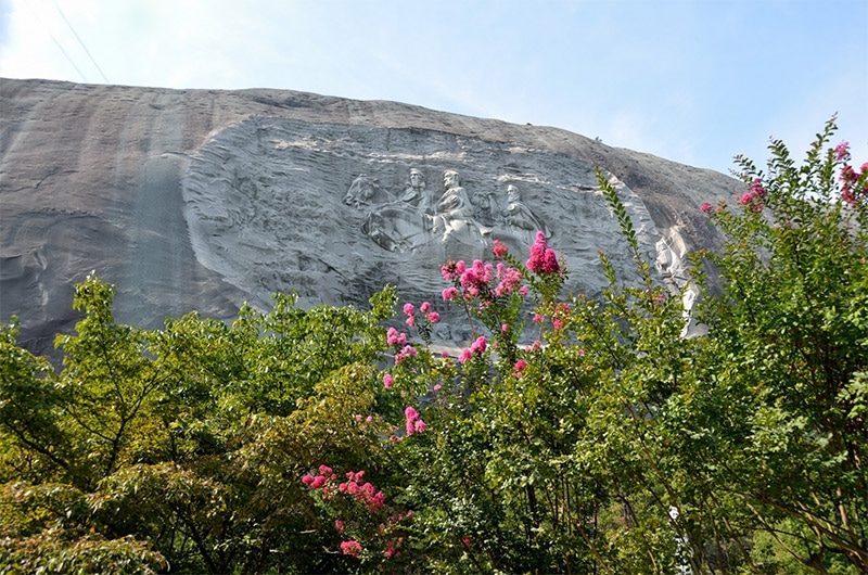
Stone Mountain
Northeast of Atlanta, and about 12 miles north of Arabia Mountain, is Stone Mountain. It is the home of Stone Mountain Park. Rising more than 800 feet above the surrounding area, Stone Mountain is an impressive sight. It is also well known for the large carving of three Confederate figures (Stonewall Jackson, Robert E. Lee, and Jefferson Davis). You can hike the the summit, or take the Summit Skyride for an easy way to the top. Once at the summit there is a decent-sized area where you can walk around and get a nice view of the Atlanta Skyline in the distance. At the summit you’ll also find some interest subjects for photographs, like trees growing on top of the rock.
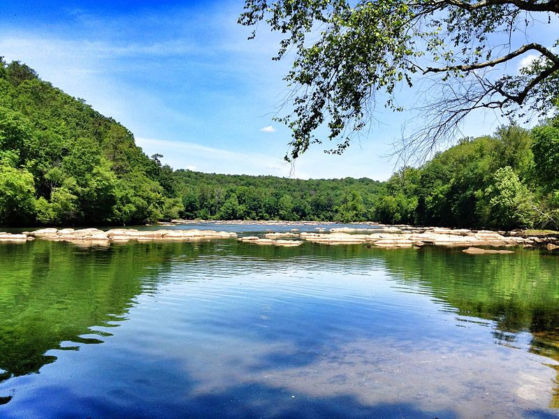
Chattahoochee River National Recreation Area
The Chattahoochee River National Recreation is about 20 miles north of Atlanta. Popular activities on this scenic river include boating and fishing.
Cumberland Island
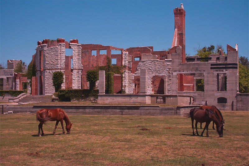
Cumberland Island is a barrier island along the coast of southern Georgia and home to Cumberland Island National Seashore. The island is 17 miles long. There is no bridge to the island, and most visitors reach the island via ferry from St. Marys. Undeveloped beaches and marshes provide excellent opportunities for photography. The island is also home to remains of a mansion formerly owned by the Carnegie family. It burned in 1959 but the ruins remain. A population estimated to be 150 – 200 feral horses also live on the island.
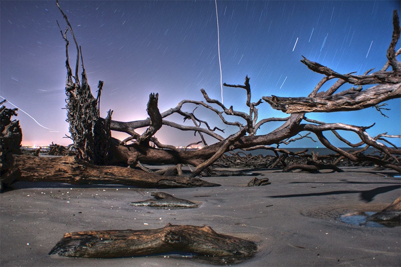
Driftwood Beach, Jekyll Island
Jekyll Island is located north of Cumberland Island in southern Georgia. Unlike Cumberland Island, Jekyll Island can be accessed by car thanks to a causeway. The beaches, marshes, and tidal creeks lead to plenty of photographic opportunities. Driftwood Beach at the north end of the island is an especially-interesting location.
Yonah Mountain
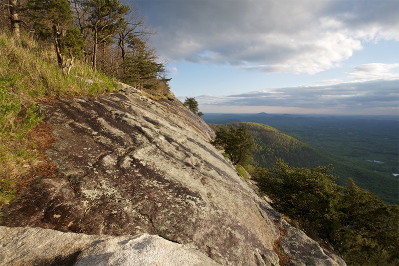
Yonah Mountain is in northern Georgia, about 90 miles northeast of Atlanta. A four-mile hike will lead you to the summit, providing plenty of great views along the way.
Providence Canyon State Park
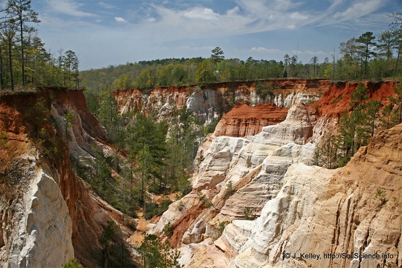
Providence Canyon State Park is in soutwestern Georgia, about 150 miles southwest of Atlanta. This 1,000-acre park is home to the Providence Canyon, which is probably unlike any landscape that you knew was in Georgia. The 150-foot canyon and gullies provide beautiful views for photos. The rim trail makes it easy to get a nice view.
George L. Smith State Park
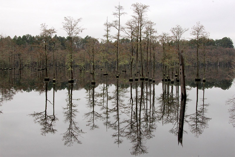
George L. Smith State Park is in eastern Georgia, about 85 miles northwest of Savannah. The park’s pond includes beautiful cypress and tupelo trees that are great for photographing. Use a canoe or kayak to get the best views and explore the pond.
Lovers Leap
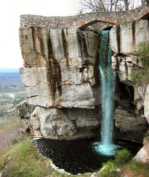
Lovers Leap at Rock City provides stunning views of the surrounding area, as well as an amazing waterfall. It is located at Lookout Mountain in northwestern Georgia, just outside of Chattanooga, Tennessee.
Amicalola Falls State Park
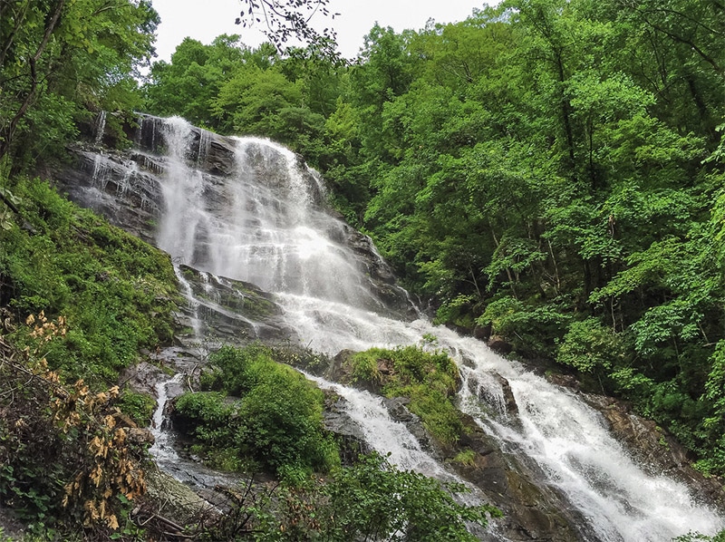
Amicalola Falls State Park is in northern Georgia, about 75 miles north of Atlanta. The park is home to the 700-foot Amicalola Falls. Catching a view from the bottom of the falls is easy, but some hiking and steps are required to get a view from the top. There are several hiking trails available in the park, including one that leads to the top of the waterfall. The park also has a lodge for those who are starting the Appalachian Trail, as the southern end of the trail is nearby.
Toccoa Falls
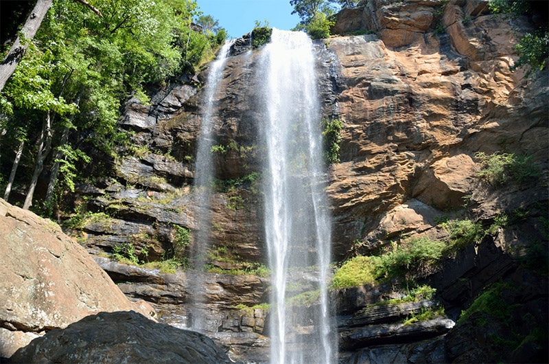
Toccoa Falls is in northern Georgia, about 90 miles northeast of Atlanta. This 186-foot waterfall is located on the campus of Toccoa Falls College. From the parking lot you can take a short walk to reach the falls.
Anna Ruby Falls
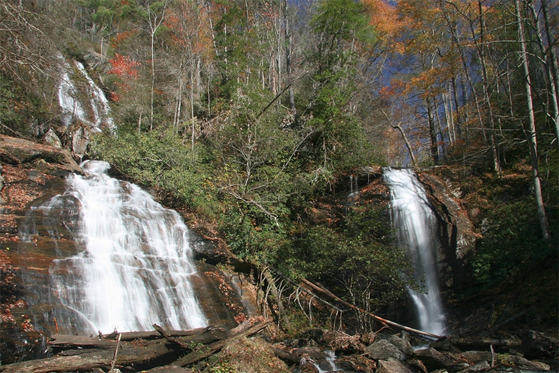
Anna Ruby Falls is in northern Georgia, about 35 miles northwest of Toccoa Falls. It can be reached via a half-mile paved trail. It is actually two falls side-by-side that are quite photogenic.
Dukes Creek Falls
About 10 miles from Anna Ruby Falls is Dukes Creek Falls. The 150-foot falls can be accessed by the Dukes Creek Trail, with an observation platform to view the falls. the hike is about 2 miles out and back
High Shoals Falls
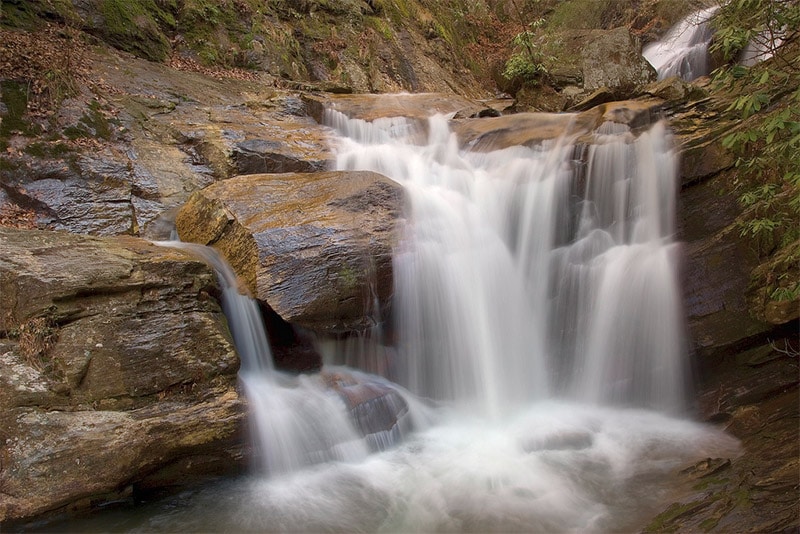
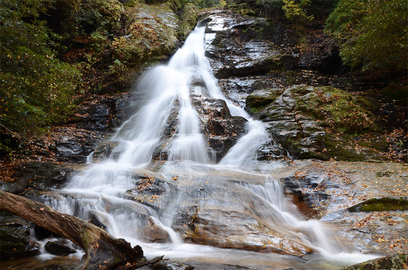
High Shoals Falls is in northern Georgia, about 100 miles northeast of Atlanta. Along the High Shoals Creek you can take a 2.5 mile high to see both High Shoals Falls and Blue Hole Falls. Find trail information on this page.
License links: CC BY-SA 3.0, CC BY 2.0, CC BY-ND 2.0,

